(named aerodrome E1 and then A 21C)
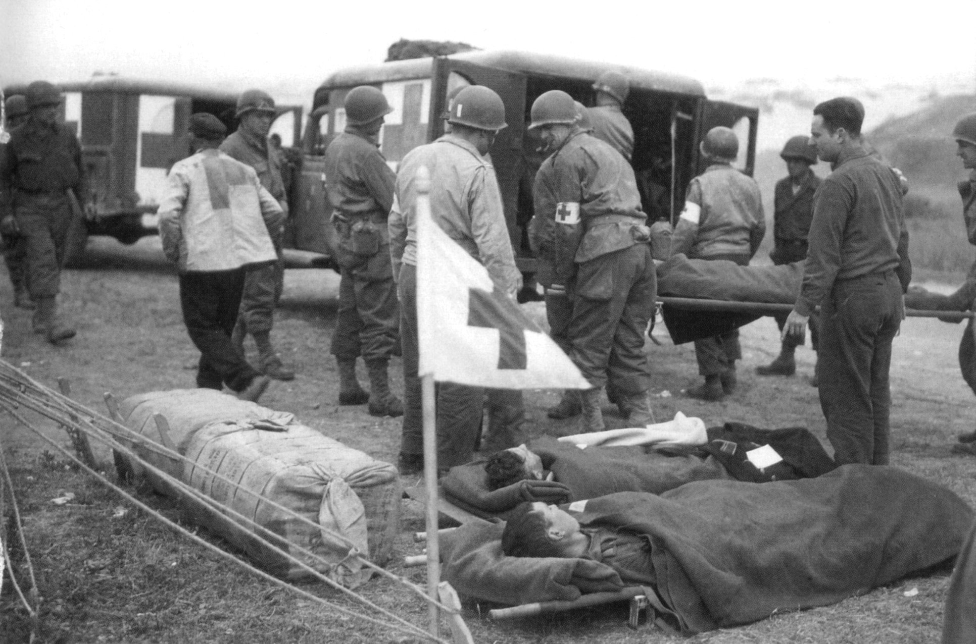
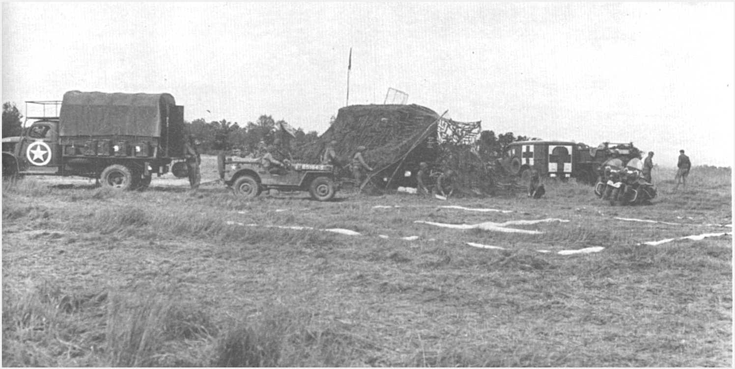
An emergency airstrip, prepared on the plateau between Le Ruquet and St-Laurent, was operational at 6 p.m. on June 9, and the wounded were evacuated by air from this site as early as June 10, with a field hospital in the vicinity replacing the first prisoner camp.
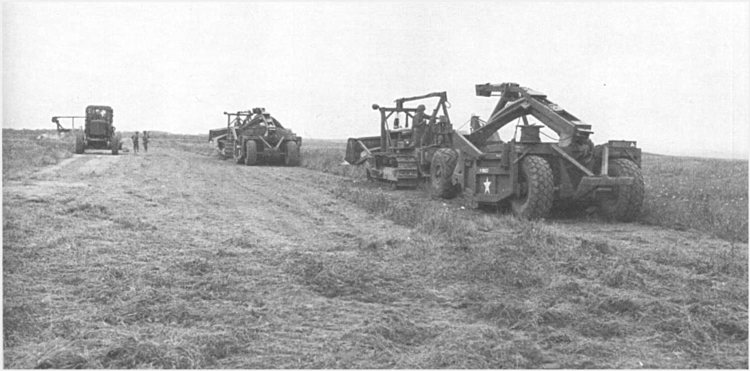
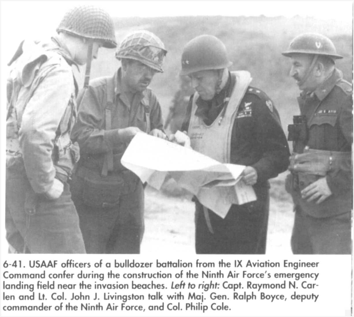
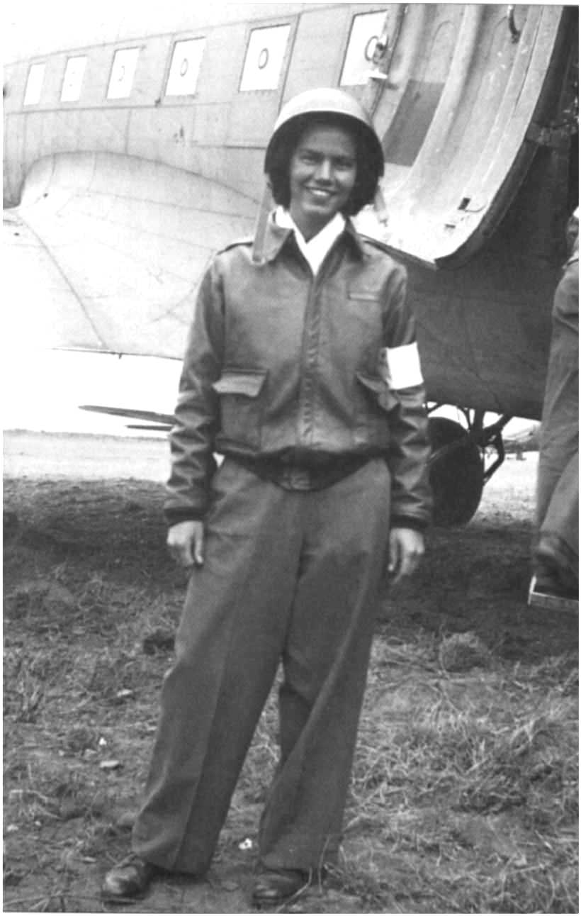
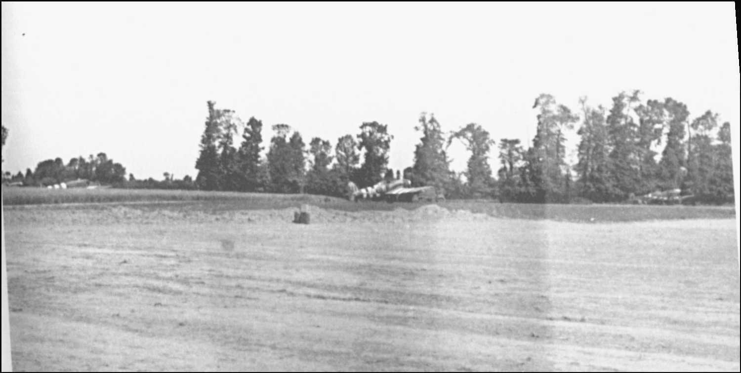
The 834th Air Engineer Battalion was responsible for the construction. It was landed in four stages on 6 and 7 June. Given the presence of snipers, he was unable to act on 6 June as planned. On June 7th, the reconnaissances showed that the site originally chosen on the Vierville cliff was still too mined and under the fire of many snipers. It was then decided to build on the cliff between Saint-Laurent and Le Ruquet. The machines worked quickly on 8 and 9 June, allowing a first sanitary DC3 "Dakota" to land on 9 June at 6 p.m. This plane was photographed extensively.
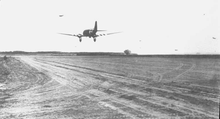
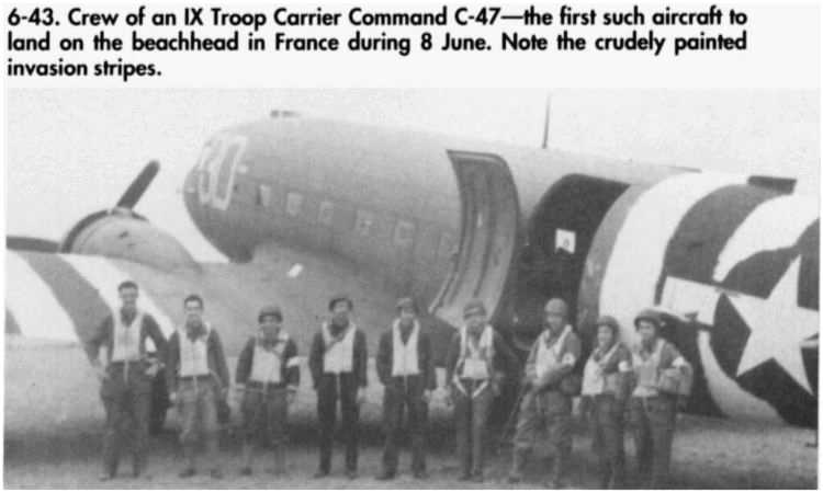
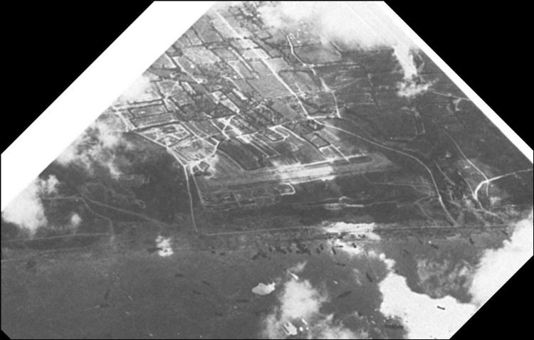
In August 44, this airfield, along with Colleville (A22C), was used to transport 1000t/day of fuel for Patton's (3rd US Army) army, which was cruelly lacking in its rapid pursuit of retired Germans towards the German border.

Organization of an Air Engineer Battalion (EAB, Engineer Aviation Battalion).

(details)
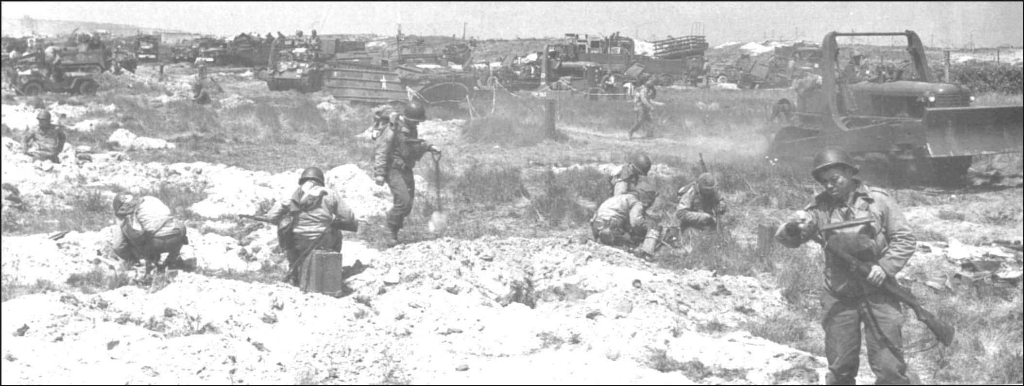
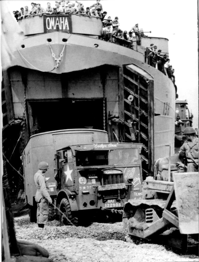
The 834th Air Engineer "Dozer Devils" on Omaha Beach, June 7 or 8

machinery at work (motorgrader above)

(details)


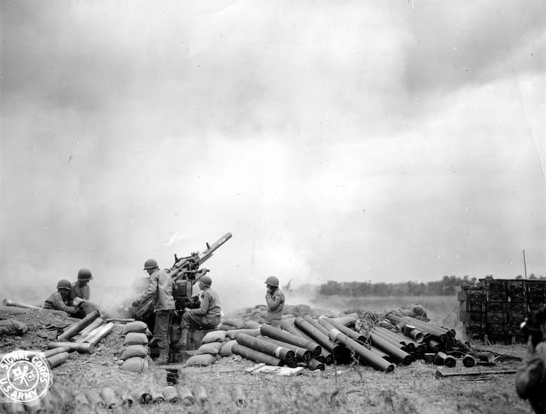

The 3 Air Engineer Battalions that landed on Omaha Beach

(details)
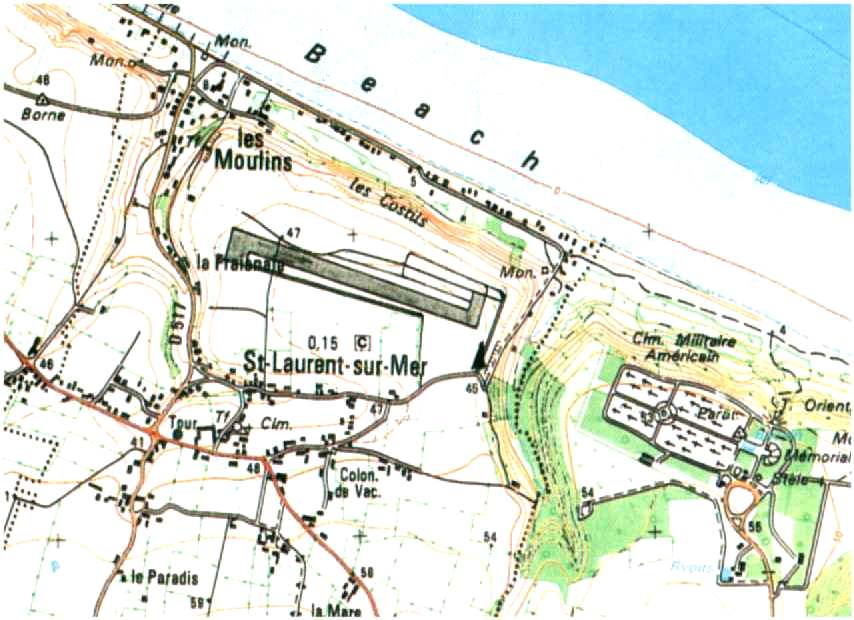
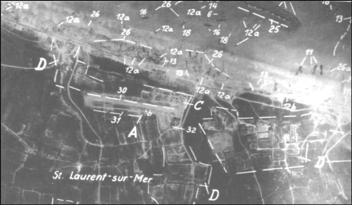
St-Laurent Airport Maps
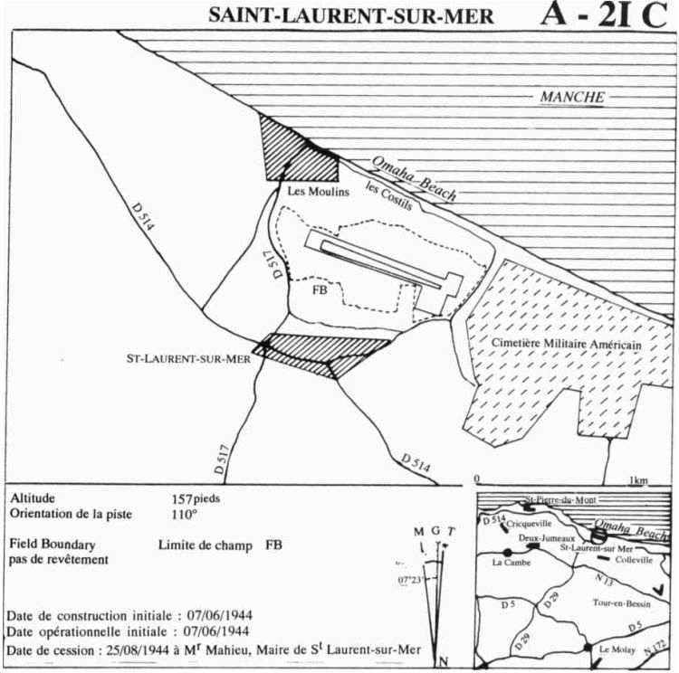
Characteristics:
Position : 49°21'55'' N - 00°52'21''O
Track of 3400ft x 100ft compacted earth
Azimuth 110°
10 dispersal areas
Work a/c of Thursday 8 June, operational on Friday 9 June, returned on 25 September 44


(details)
Transportation of injured persons

(details)
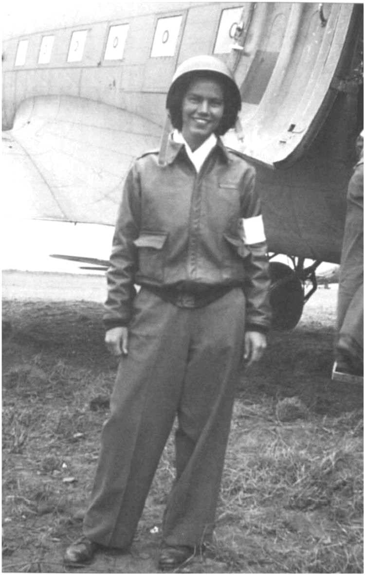


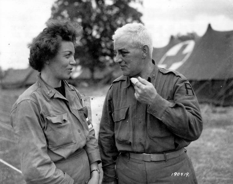
Memories of Michel Hardelay
"...desiring to complete my explorations, I entered the road of Saint Laurent.
The troops on this route were few and were heading only west, at least within the first ten days, contrary to the processions of prisoners who were going, at the beginning, to the site of the current cemetery in Colleville. The camp was then transferred to a large meadow between Vierville and Saint Laurent.
When I arrived in the valley of Saint Laurent I discovered a country hospital under tents and in full operation.
On the plateau and at the edge of the cliff (between StLaurent and Le Ruquet) was built an airstrip already operational on the evening of June 7th.
(in fact it was operational on the evening of June 9, the reconnaissances were made on June 7, with abandonment of the site originally planned on the cliff of Vierville and beginning of work on June 8)
On which were stationed two Douglass marked with the red cross and around which the female navigating personnel, in the majority, fell.
Ambulances commuted between the hospital and the land a little less than a thousand meters away.
Then I followed a small road leading on the road from Saint Laurent to Formigny and entered a vast herbage where was at rest or waiting for transport about a thousand infantrymen. Everyone had dug a man's hole, an obligation dictated by military regulations. This hole served as an individual shelter in the event of a bombardment and, if necessary, to sleep there; when they left, he placed his empty cans and everything he did not want to continue hanging out with him and plugged him with the excavated earth.
I was the first civilian they saw. At the request of his comrades one of them asked me in excellent French
"How far from Paris are we here?"
I said:
"270 kilometers or 170 miles",
Because they seemed to ignore the value of the kilometer.
Then I went home to Vierville."

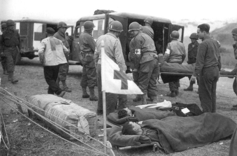


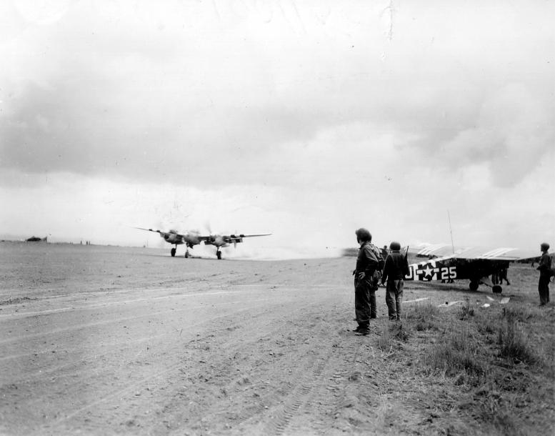
It appears that 184th Medical Dispensary (Aviation) was based in St-Laurent
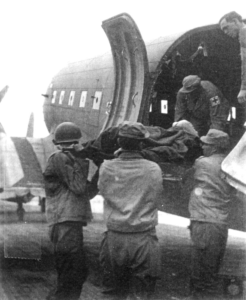


(see details)
The Ruquet 10 August 44
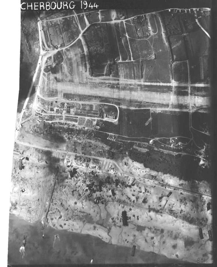
(see details)
The West Ruquet 10 August 44

(see details)
St-Laurent, Les Moulins Est 10 August 44
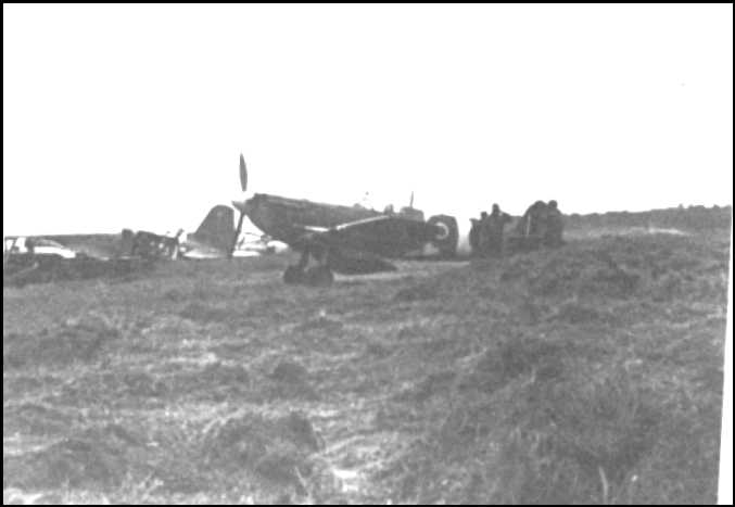





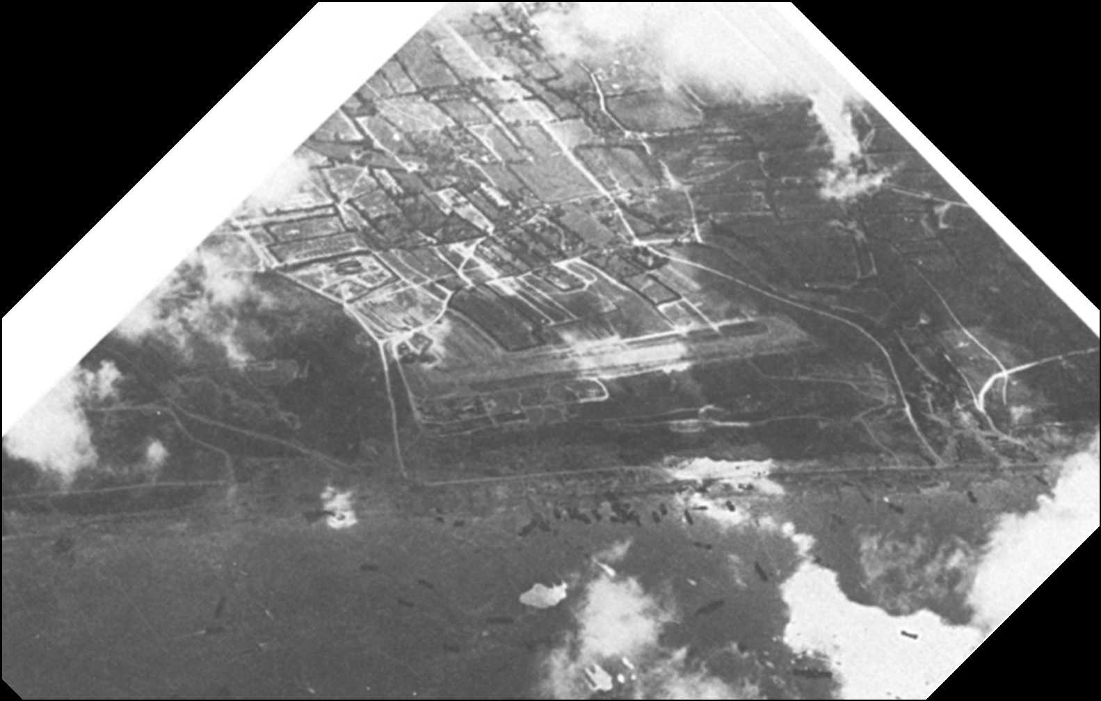
Balloons that protect the base
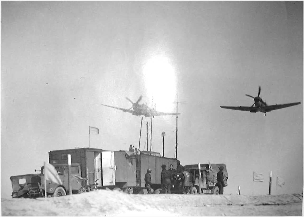
aircraft flying in a shave-mot.
In the bottom the ships on dock
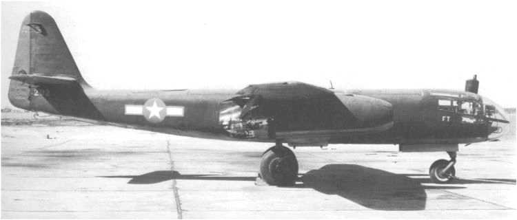
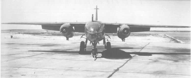
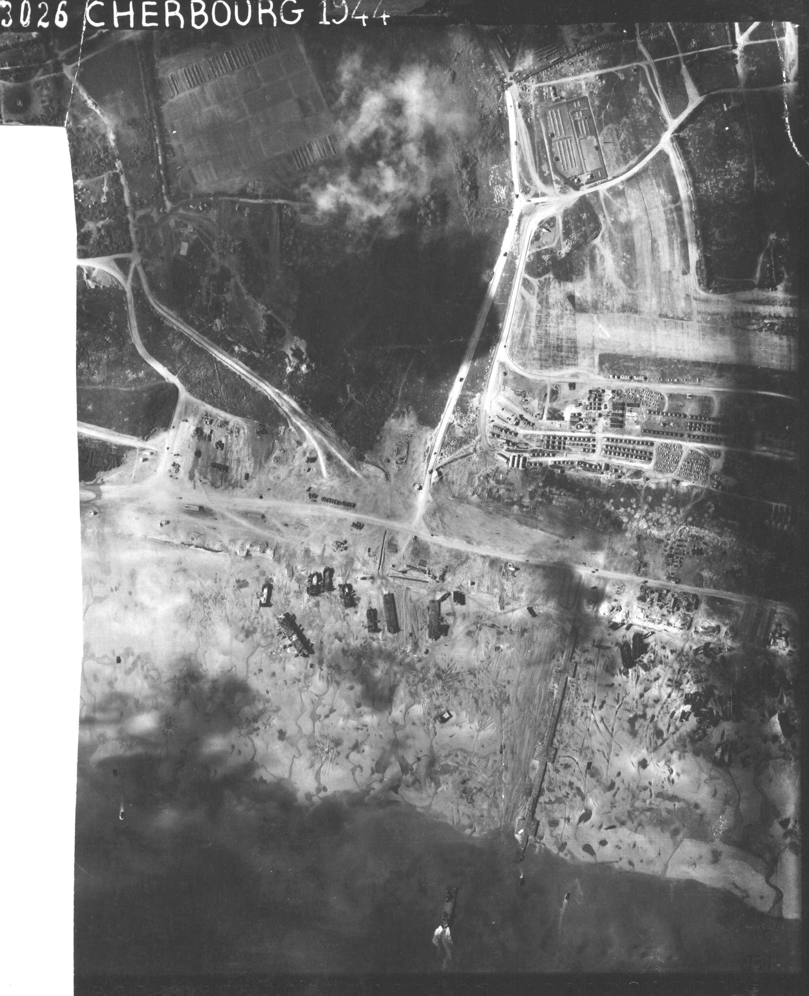
Below, this German jet aircraft, an Arado 234, based in the Paris region, photographed in August 44 all the allied bases in Normandy. The plane flying at 20,000m altitude was invulnerable and not visible to the naked eye. Radar alone could detect it. This model was the first jet aircraft used against the Allies.
The photo of Saint-Laurent is accurately indicated by the Abwehr (German Army Intelligence) who seemed well aware of the Allied means
.






















-