931
The Saint-Pierre-du-Mont aerodrome / Englesqueville-la-Percée
Named A 1
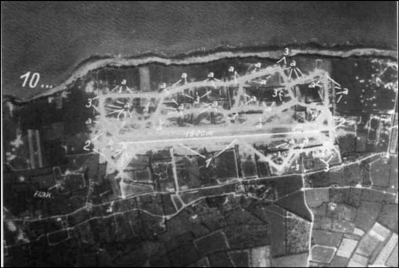
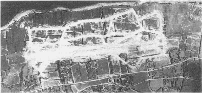
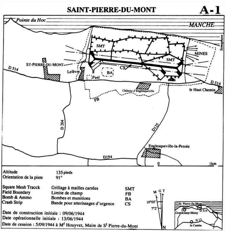
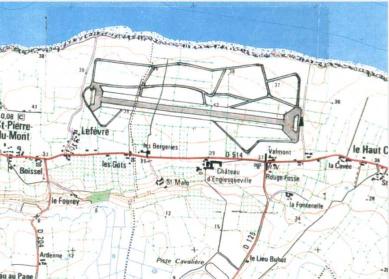
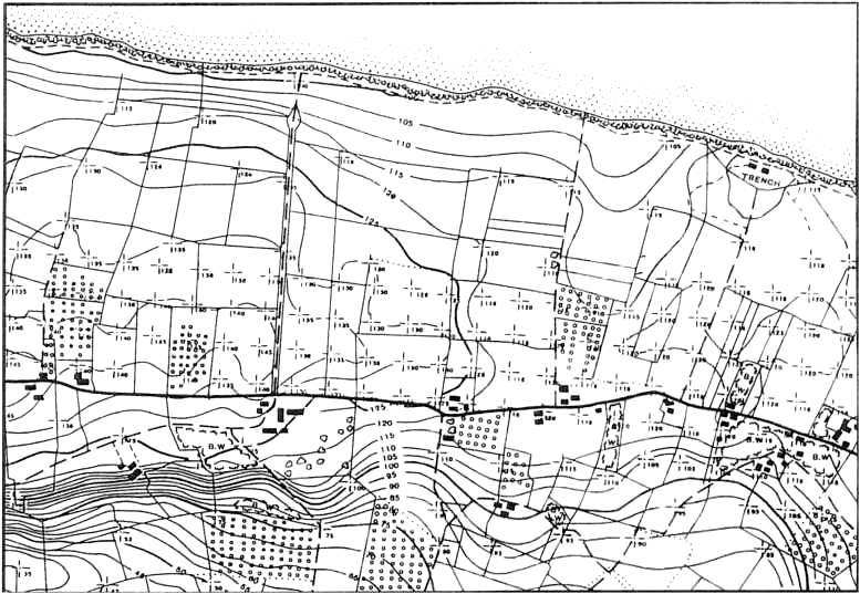
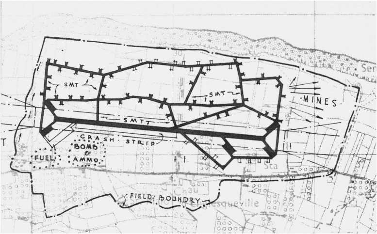
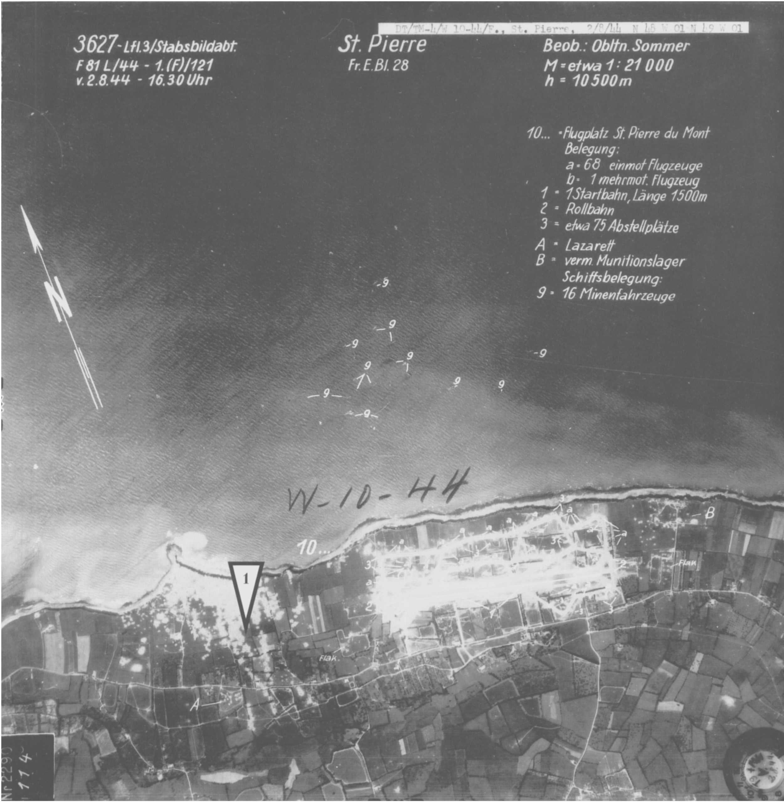
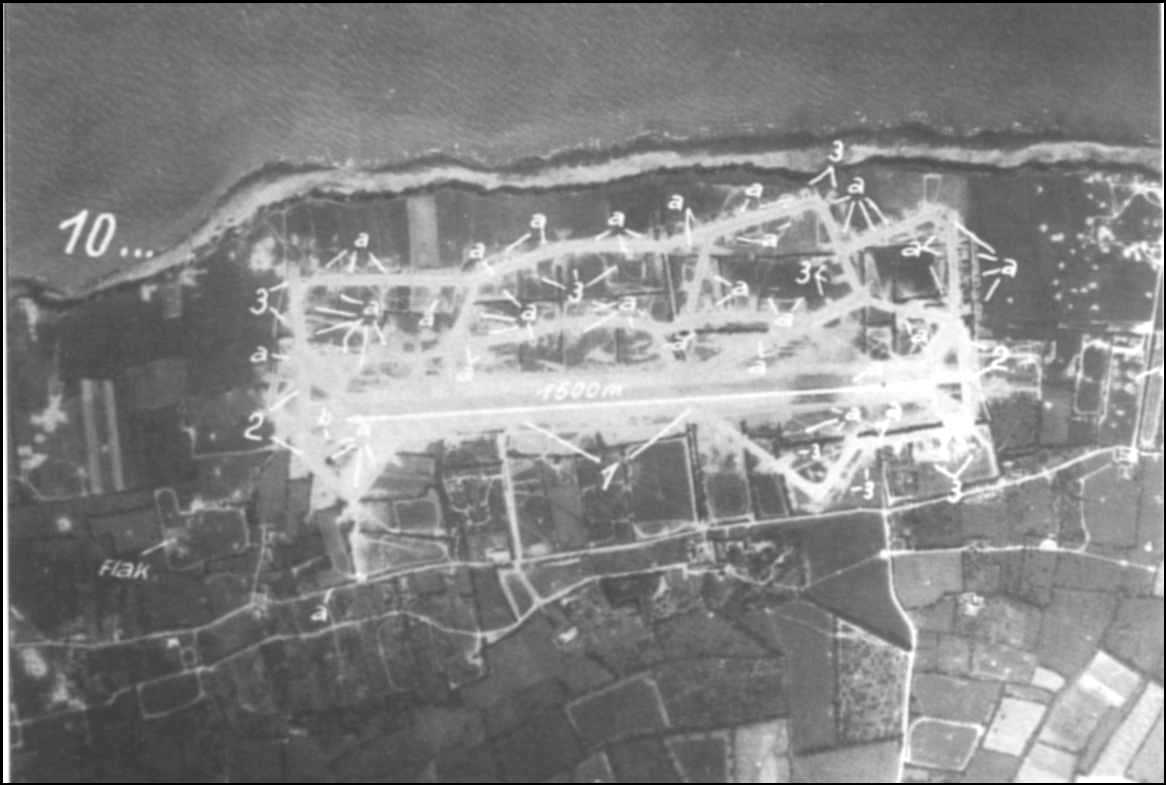
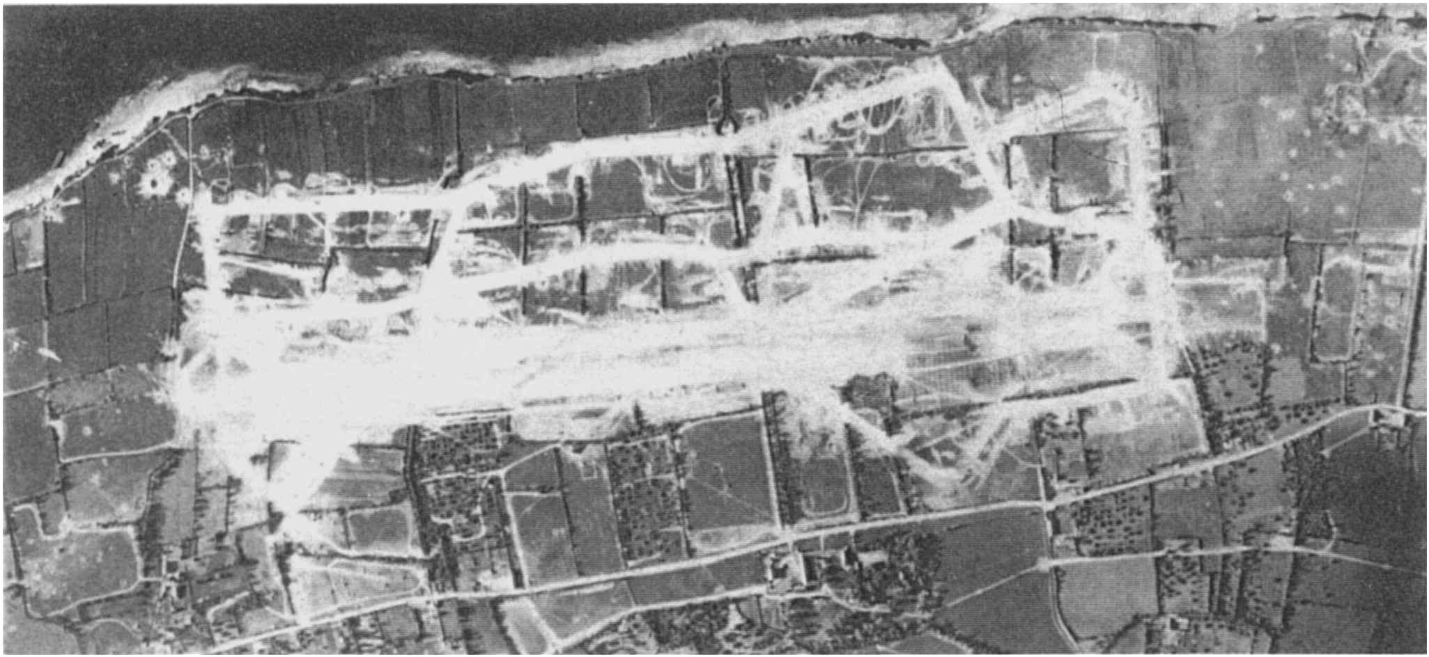
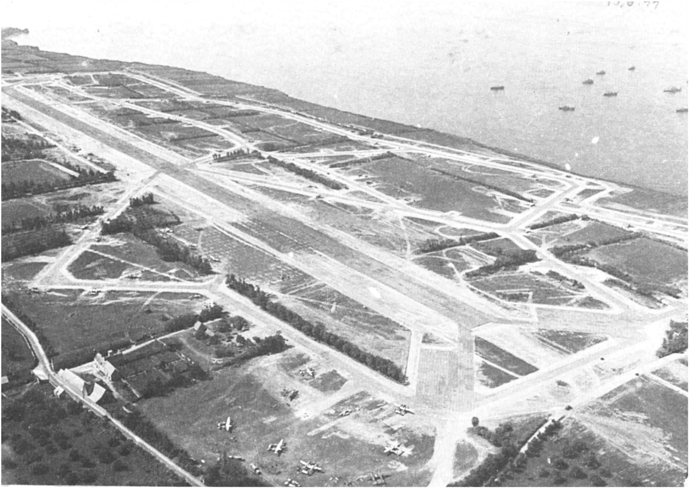
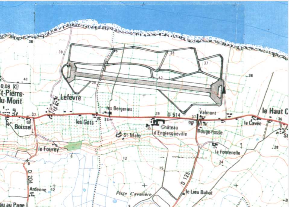
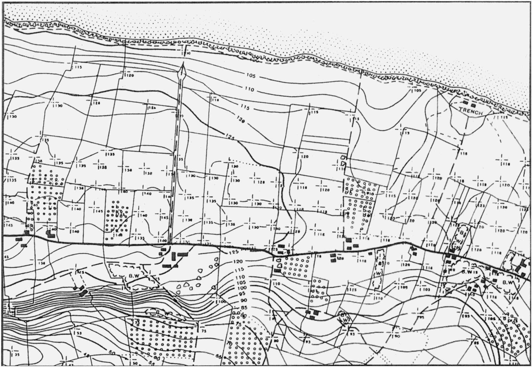
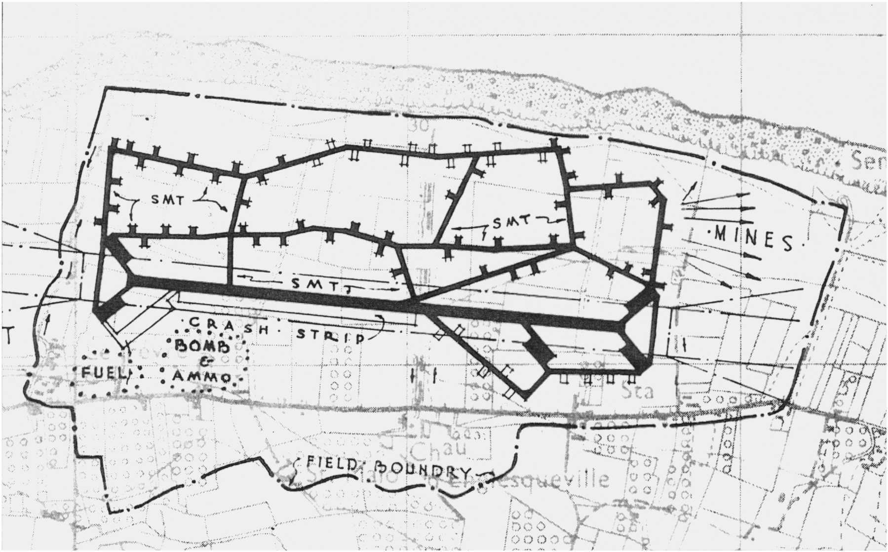
- This airfield was installed on the cliff between the peak of Hoc and Englesqueville.
Built from 9 June 1944, put into service on 13 June, completed on 20 June and abandoned on 5 September 1944.
His code name was FRY
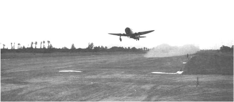
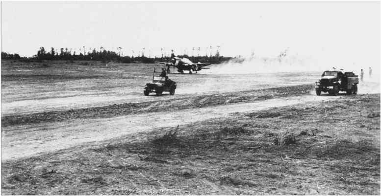
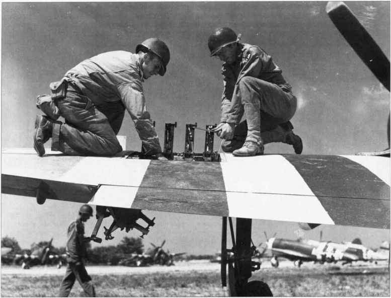
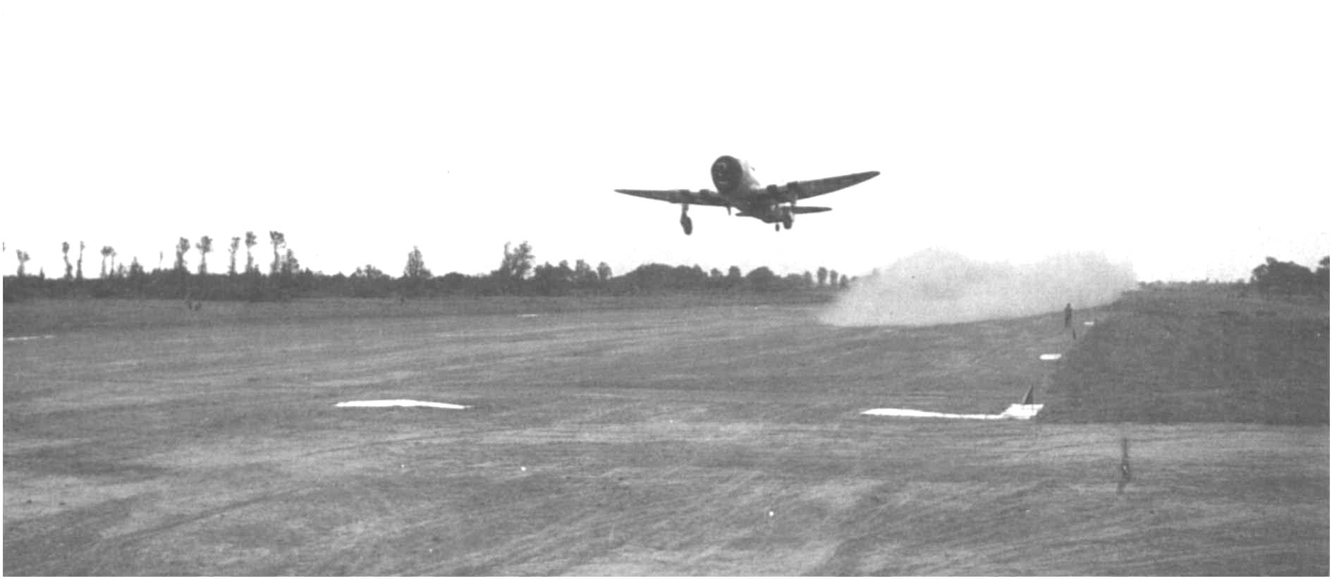
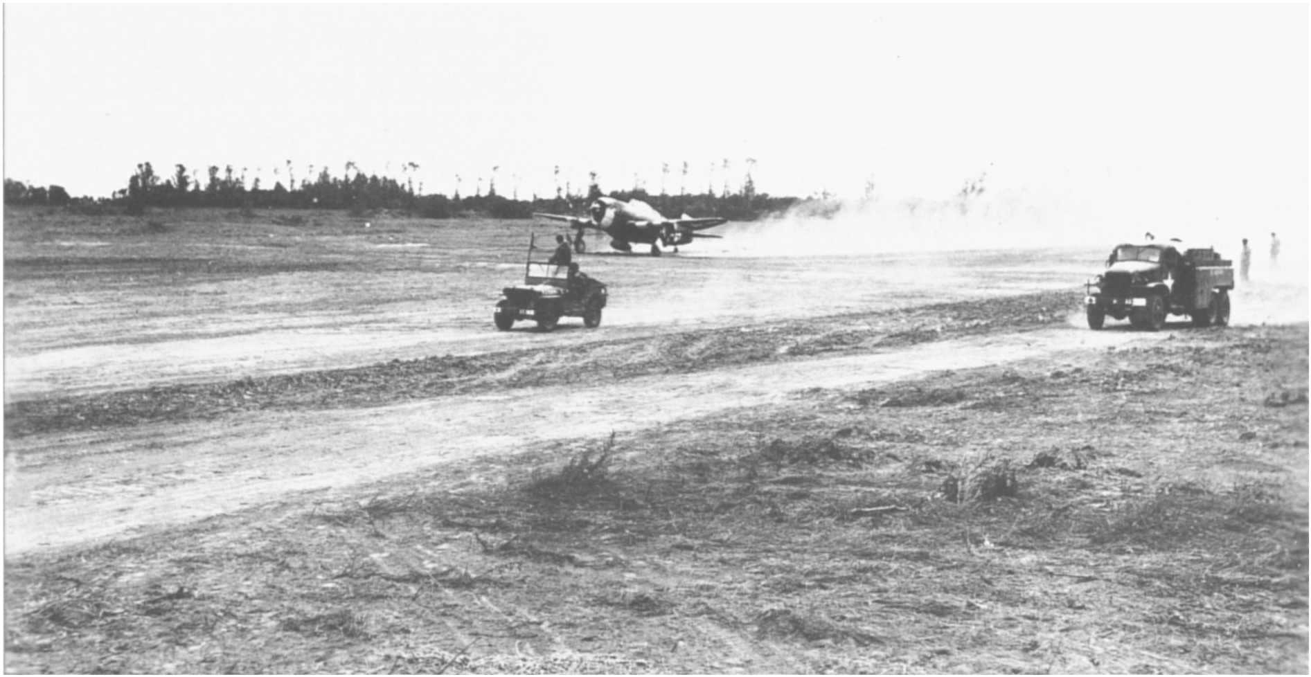
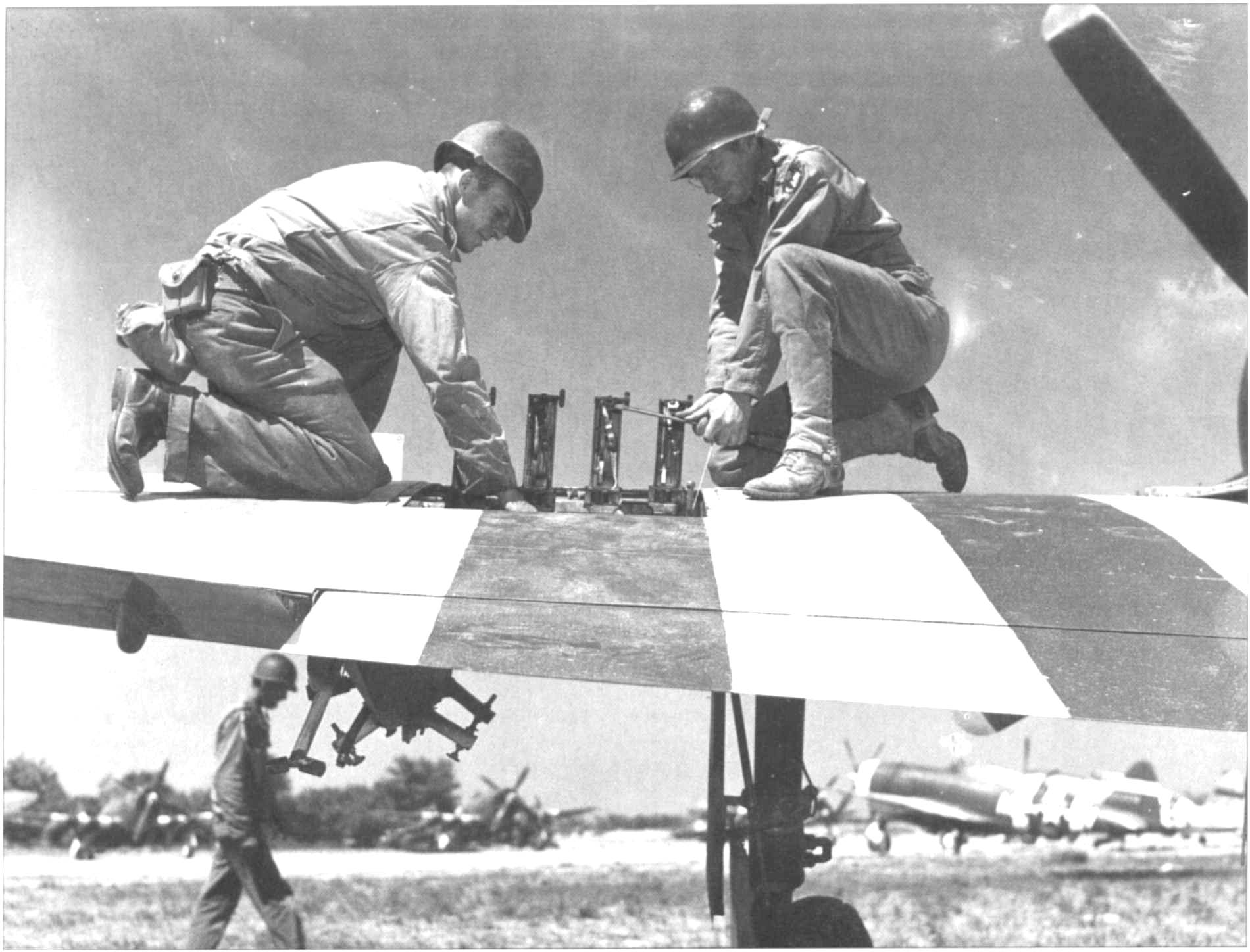
It served as the basis for the 366th Fighter Group of P47 "Thunderbolt" fighter-bombers (48 aircraft). It was also used for medical evacuations and fuel and ammunition supplies for many other aircraft.
Named A1, it was the work of the 834th Air Engineer Battalion (of the 9th Tactical Air Force) which built it, immediately after completing that of Sant-Laurent (named A21).

The 3 Air Engineer Battalions
who landed on Omaha Beach
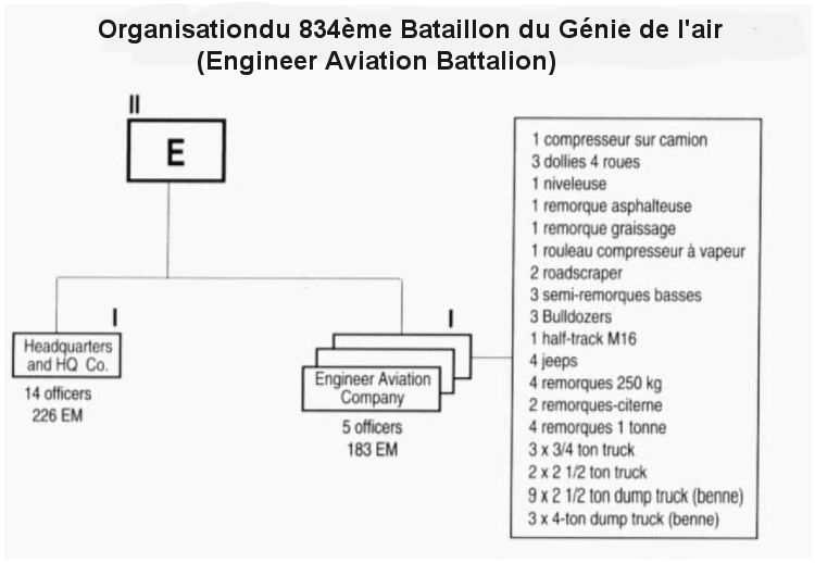
Organization of an Air Engineer Battalion
(EAB, Engineer Aviation Battalion)
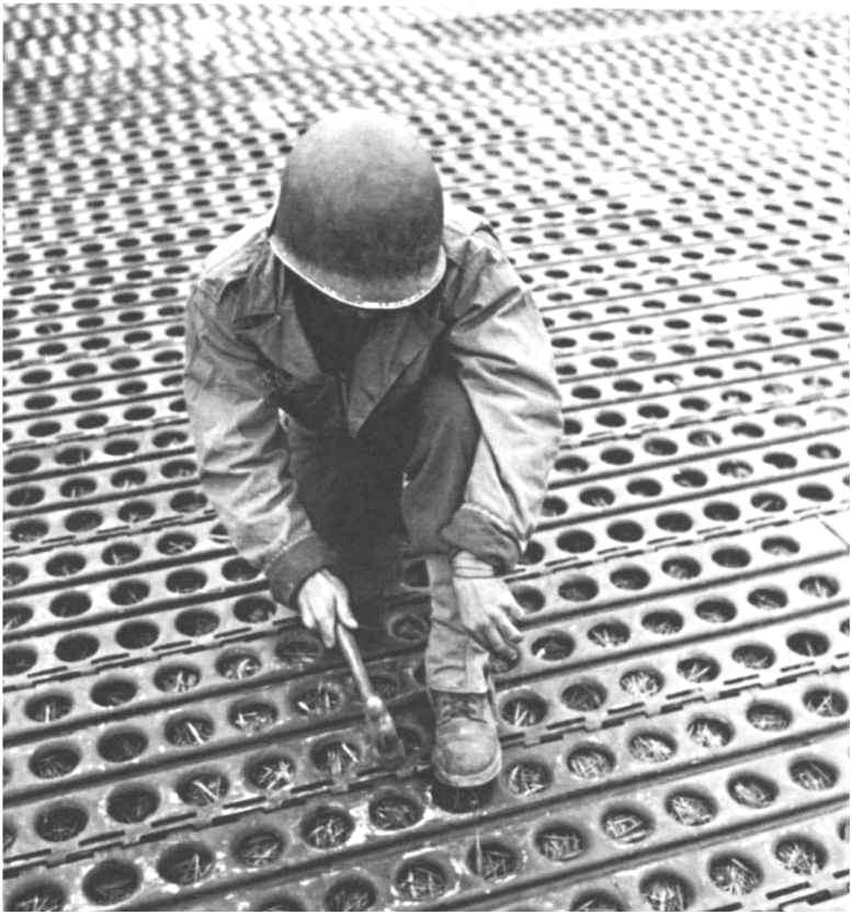
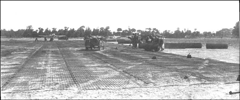
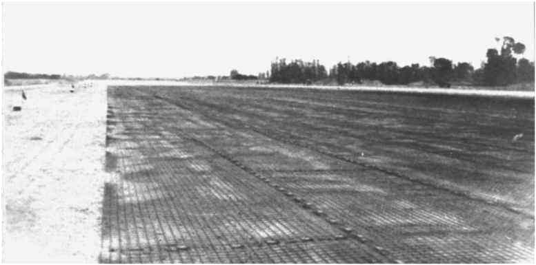
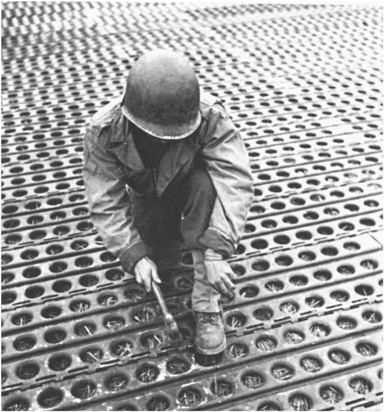
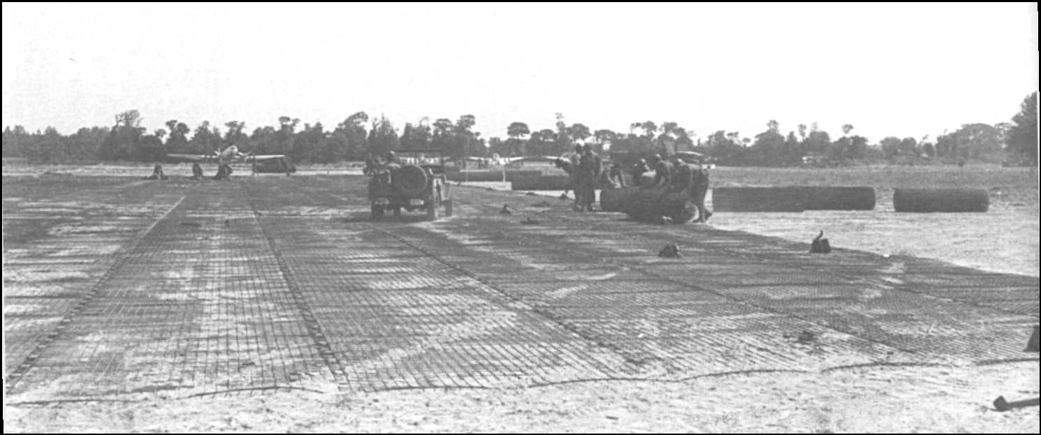
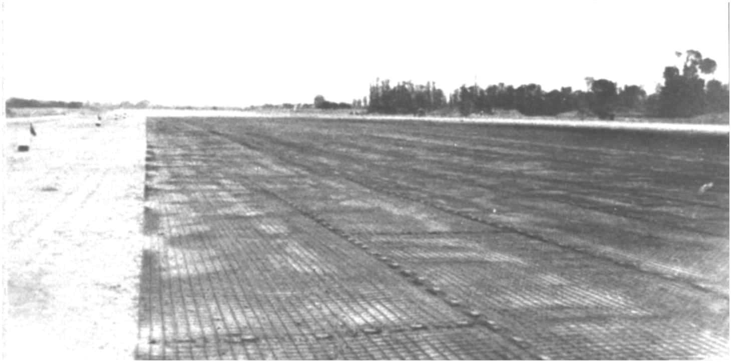
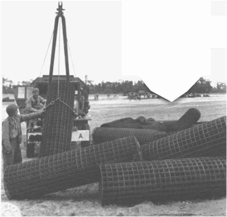
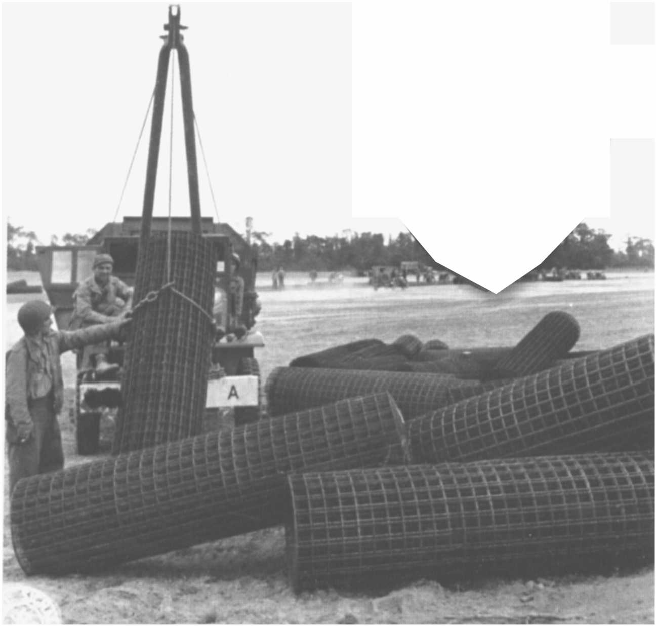
Features: 5000ft x 120ft runway, PSP surface and Square Mesh, azimuth 91°, position: 49°23'28'' N and 00°57'43'' W, 75 parking areas, storage and rearmament.
Excerpt "The Renaissance of Bessin":
"We know that the operations of the landing owe their success, of course to the courage of the troops on the ground, but also to the efficiency and the air power of the Allies. Ground support required a maximum reduction in aircraft response distances. That's why, as early as the first days after D-Day, the Engineers launched the construction of field aerodromes.
It was not the slightest technical performance to see planes take off and land on French soil as early as June 7. They took code names, the letter "A" for American airfields (and "B" for the British), followed by a number chronologically assigned to their location. Some witnesses can talk about it today, including the "A1", usually known as "St-Pierre-du-Mont". In fact, most of the right-of-way of its installation is located in the territory of the commune of Englesqueville-la-Percée (It was the American troops who named this airfield. One hypothesis on confusion is that on the main maps of the time, the inscription SI-Pierre-du-Mont covers the land used, while that of Englesqueville only attaches to the village itself). And it is his former mayor, Henri Lepelletier, 23 years old in 1944, who evokes this neighborhood.
"A great job in a few days. That's when we first saw the bulldozer. He came in front of a tree, and we thought he's not gonna be able to rip it out. And then, hop, at first, the tree fell!".
Construction equipment had been in place since the morning of the 8th. A1 is considered built from June 9 to 13.
" Some say they saw planes running there on the 9th in the evening. "
This is not impossible, as these lands were already in use at the construction site. In addition, A1 is still considered as "RRS" (Rearming and Refueling Strip - re-arming track and fuel), the installation is then summarized. There's no time to waste. The construction technique is very rustic.
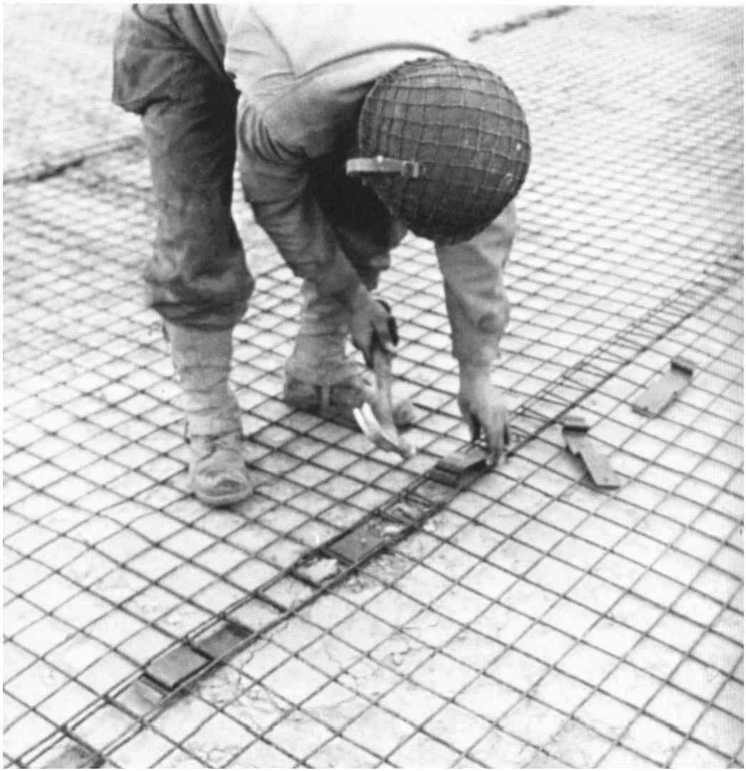
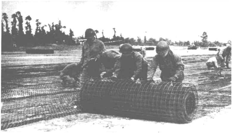
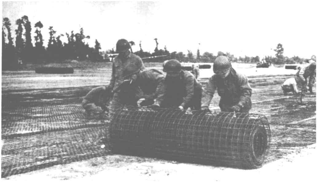
"A simple levelling on which piles were attached, either from the grilling or from the plate. An extraordinary job, in a few days."
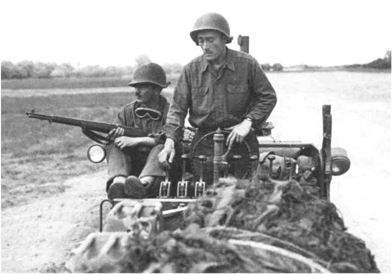
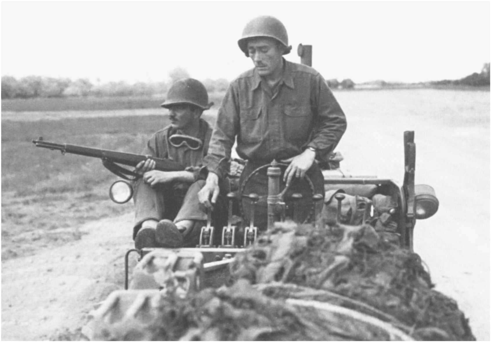
For an average runway, more than 2,500 rolls of wire mesh and 30,000 stakes were required, a drop of water in all the equipment disembarked.
"Some people then participated in the labour force. But we couldn't get close; they were wary."
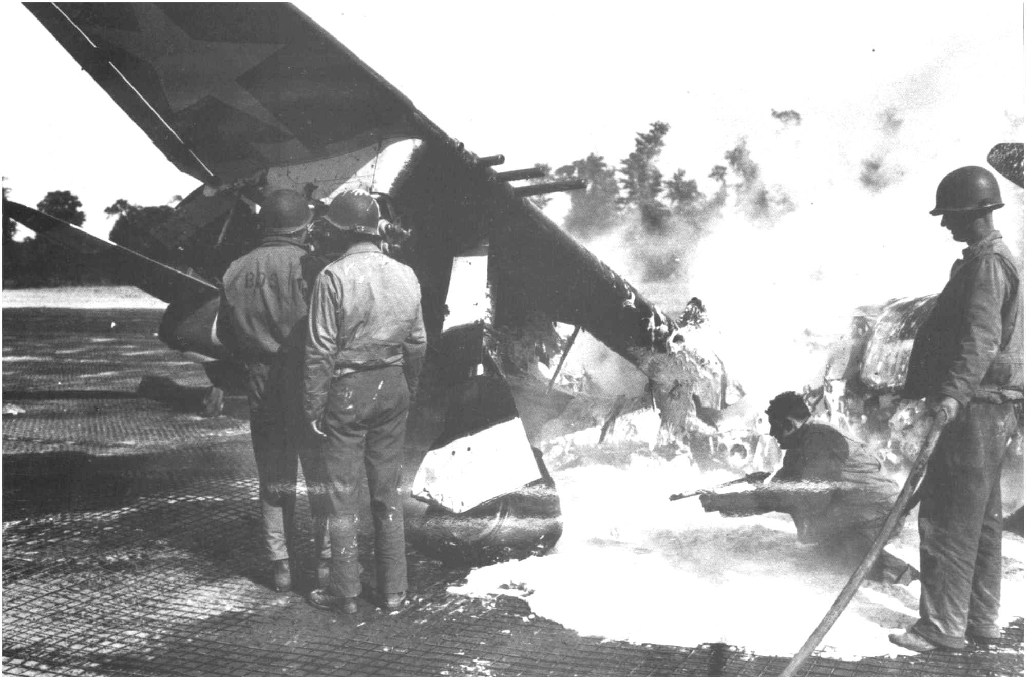
The activity is overflowing: "The planes were constantly coming and taking off. One crashed when he came back in flames." Because in these days, the Germans are still close and the P47s of the 366th Fighter Group commanded by Colonel Holt still have a lot of work to do. As a result, there are not so many opportunities to make real contacts.
" Some of them stayed well in a farm, but most were in tents. "
Intense atmosphere for a little over two months. In the meantime, Mr. Lepelletier was himself incorporated and, when he returns, the A1 is silent. He has been abandoned since 25 August.
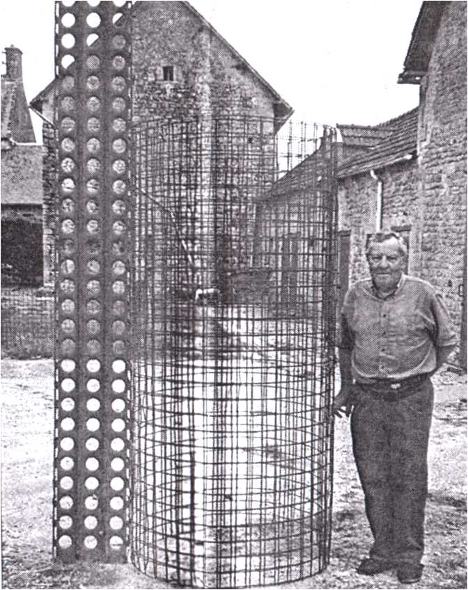
"Companys have come to restore everything. They got the wire mesh back. The owners of the plots were able to recover some material."
It is known that many of this fence has served and still serves fences in many farms in the area. Practical: on the D514, 2 km from Vierville, take the road to the right where a telephone booth is located. A monument is erected 300 m away, the track extended from there, westward, a little over 1,500 m long, on an east/west axis. All the installations occupied in width, the space from the road to the cliff.