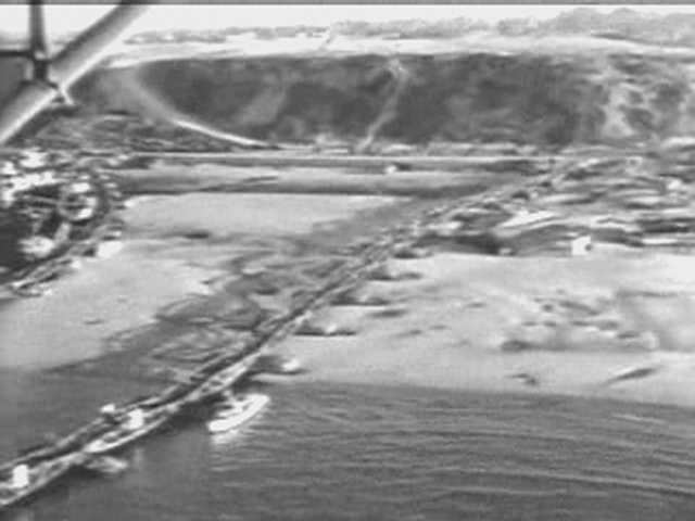
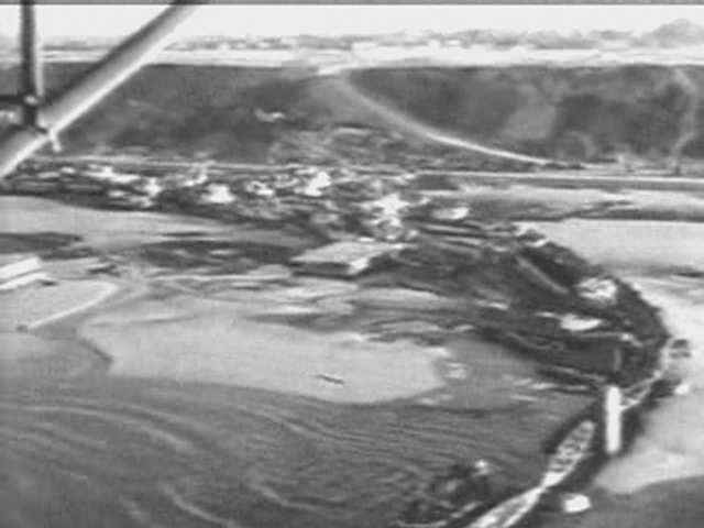
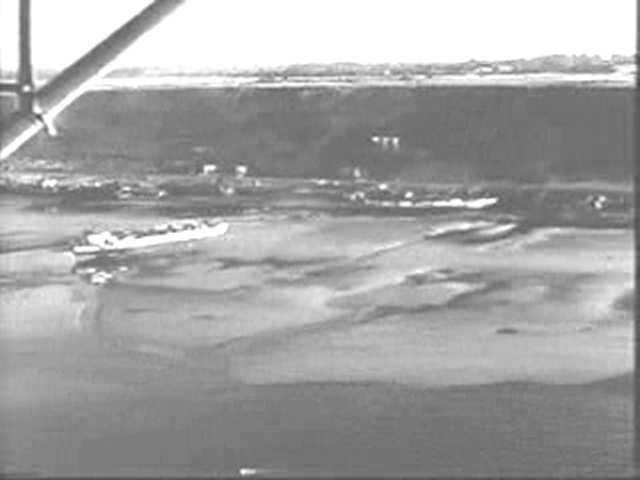
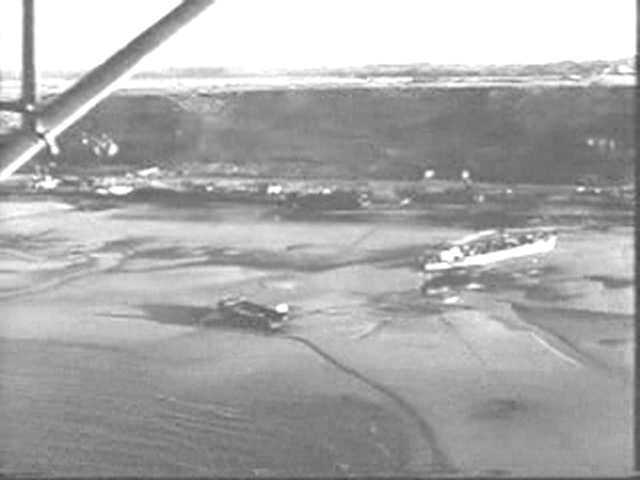
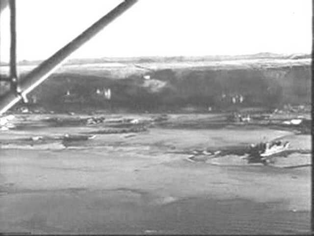
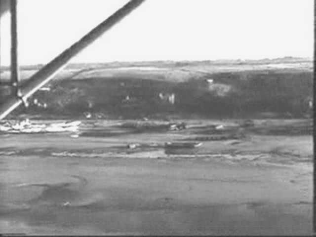
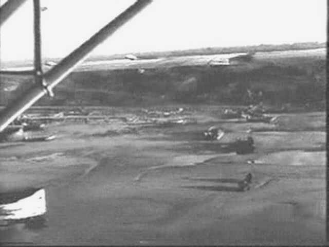
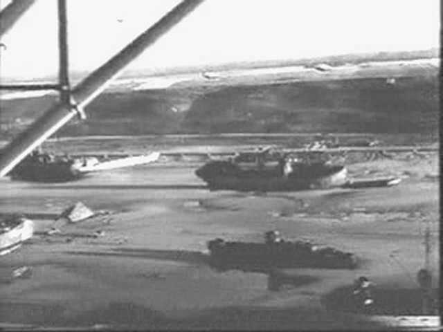
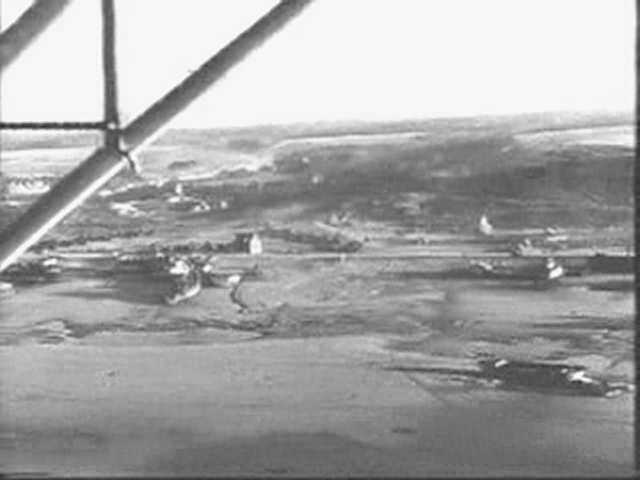
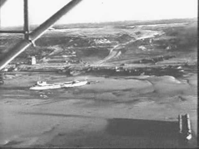
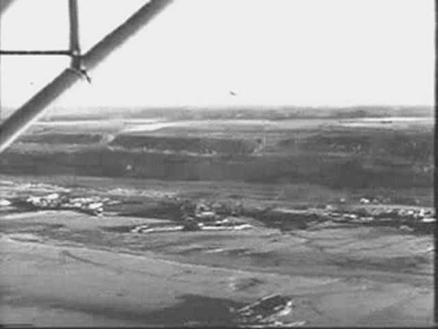
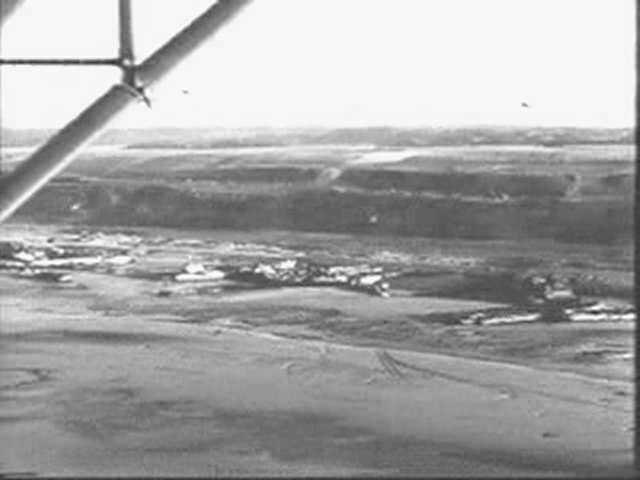
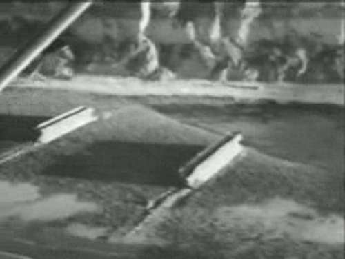
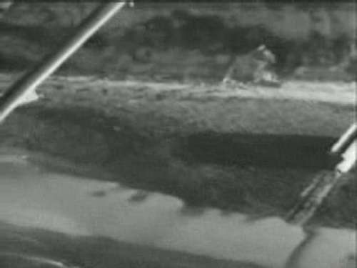
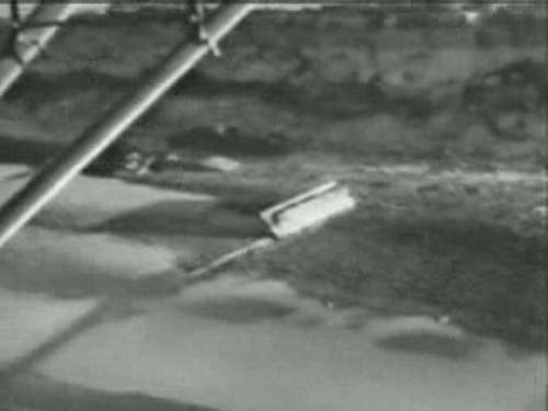
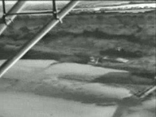
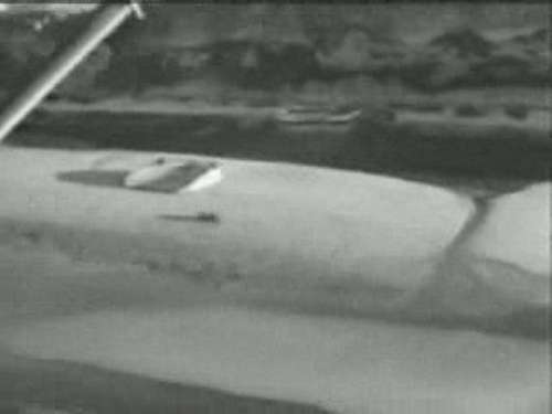
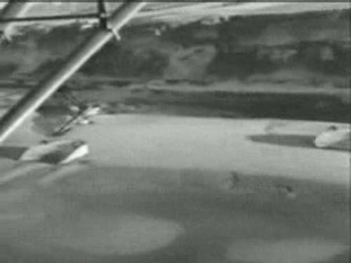
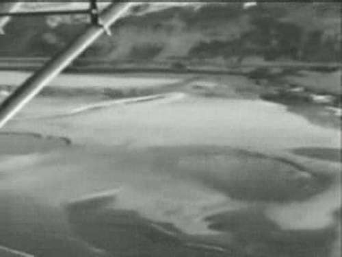
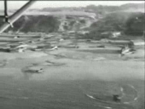
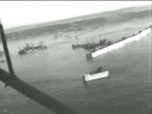
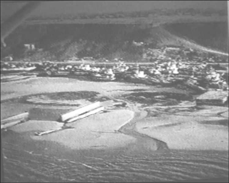
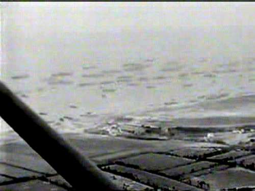
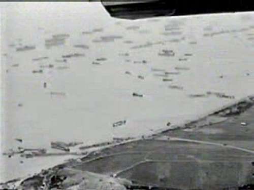
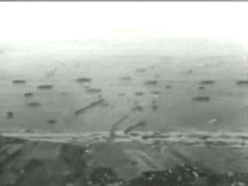
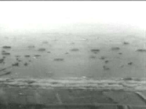
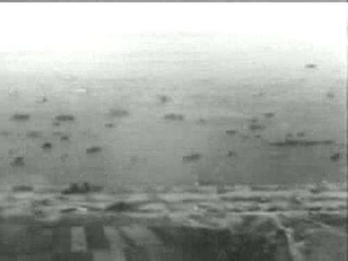
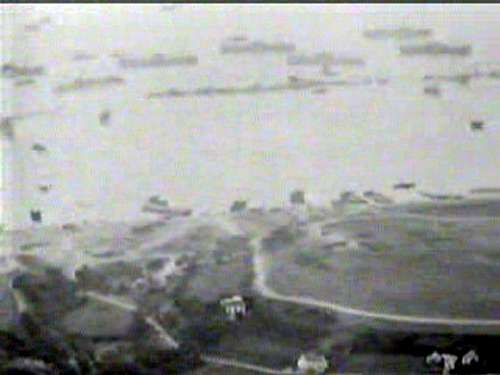
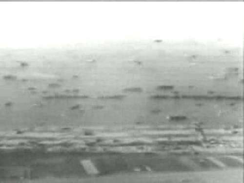
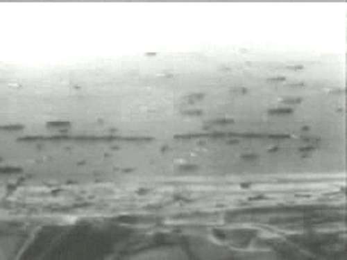
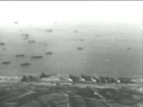
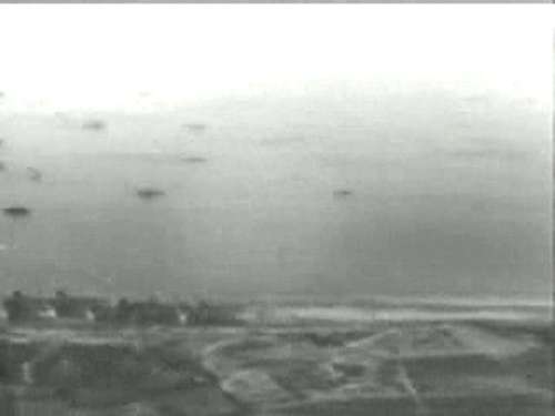
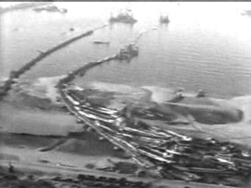
4 - The Eastern and Centre Piers deformed and leaned on each other, with the LCTs putting pressure on them — Yves Cordelle Collection, reference 85134.
Coastal panoramas after the storm, from La Percée to Le Ruquet
Panoramic coast after the storm, around June 23, of the Percée au Ruquet
134
From Vierville to the Ruquet 28 photos below
1 - Vierville and the Western Pier2 - The Western Pier, left Pier Centre3 - The Western and Pier Centre and the descent of Olive Mountain4 - The Eastern and Centre Piers deformed and leaned on each other, with the LCTs putting pressure on them5 - A failed bomber on the left6 - 2 bombardments failed7 - 2 LCT on the beach8 - To the left the villa Hardelay9- On the right the villa Hardelay, on the left the villa Chevalier10 - in the center, the villa Chevalier, above right the casemate under construction of the WN 7011 - The Mathy villa in the center left12 - In the center, a little to the right, the 2 illuminated gables of the villa Mathy. See the 2 black pine hedges on the cliff
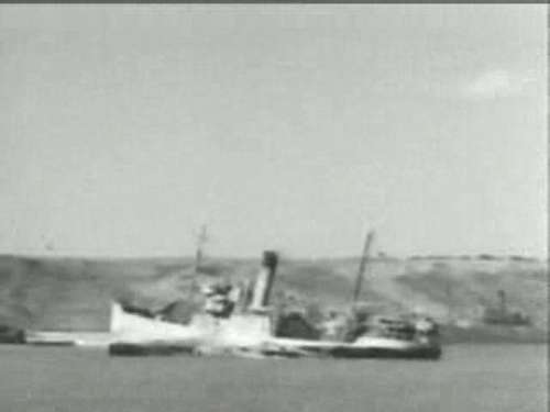
13 -14 - 2 small freighters stranded after the storm
15 - Front, LCI 91, wreck of June 616 - One LST and several stranded cargo17 - Left another LST, center a cargo
18 - To the right a LST, in the center LCI 92 along the seafront, wreck of 6 June
19 - Les Moulins20 - Les Moulins, left a wreck of bombardment
21 - To the left an LCT, to the right the bomber22 - In the center the house on the beach where Colonel Bingham sheltered by disembarking at 7:00 am on June 623 - To the left an LCT on the beach
24 - Front, a LCT on the beach25 - The cliff between St-Laurent on the right and Le Ruquet on the left26 - To the left an LCI on the beach with its front towards the sea27 - To the right a LCI on the beach
28 - Left The Ruquet
Here and below, a panoramic view of the Percée coast in Vierville and the Ruquet shortly after the storm. The photos were taken in the sunset. You can see the remains of the footbridges and the many wrecks on the beach
From the fishing pit in Vierville, under the cliff
9 photos + 2 photos of the west crossing
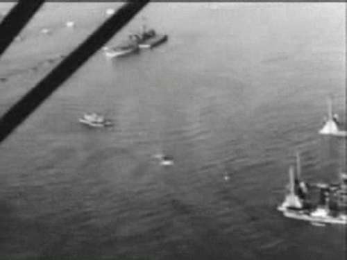
1 Two Bombardons2 A Bombardon3 Bombardon and LCI
4 A Bombardon and an LCI will be bailed out5 An artificial beach of Lobnitz6 Two artificial beaches, the house "Gambier"78 an intermediate dock for Lobnitz9 Vierville
West Crossing of 7 Phoenix
seen after the storm
Overview of the harbour, from Vierville to Colleville (11 photos) + 4 pictures of the port Mulberry + 2 pictures of stranded cargo ships between Vierville and Saint Laurent
1 Vierville West2Vierville3 East Vierville456 St Laurent7 aerodrome891011 Colleville
Bridges and the dam off the dismantled Pnoenix
1234
Small cargo ships stranded between Vierville and St Laurent