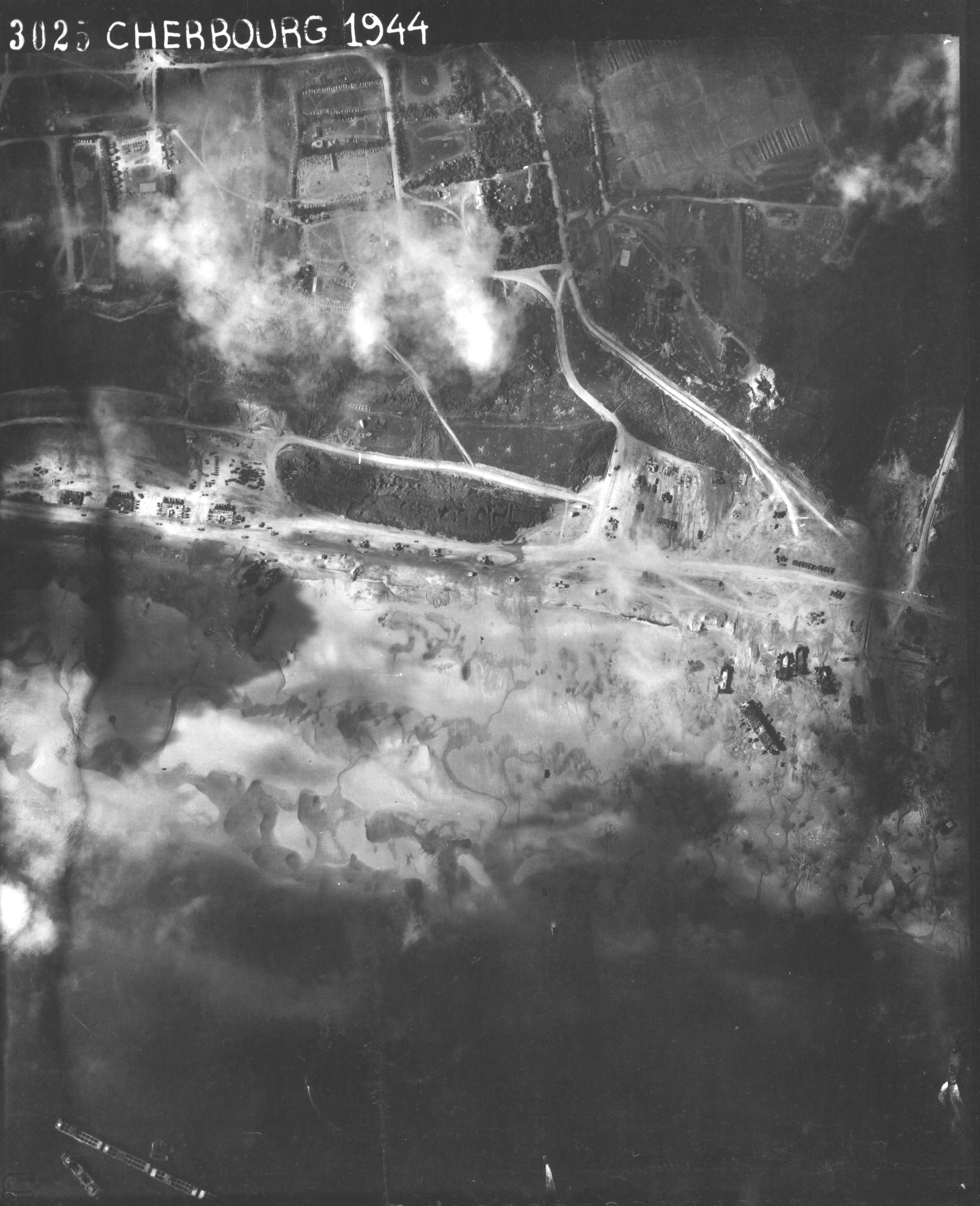
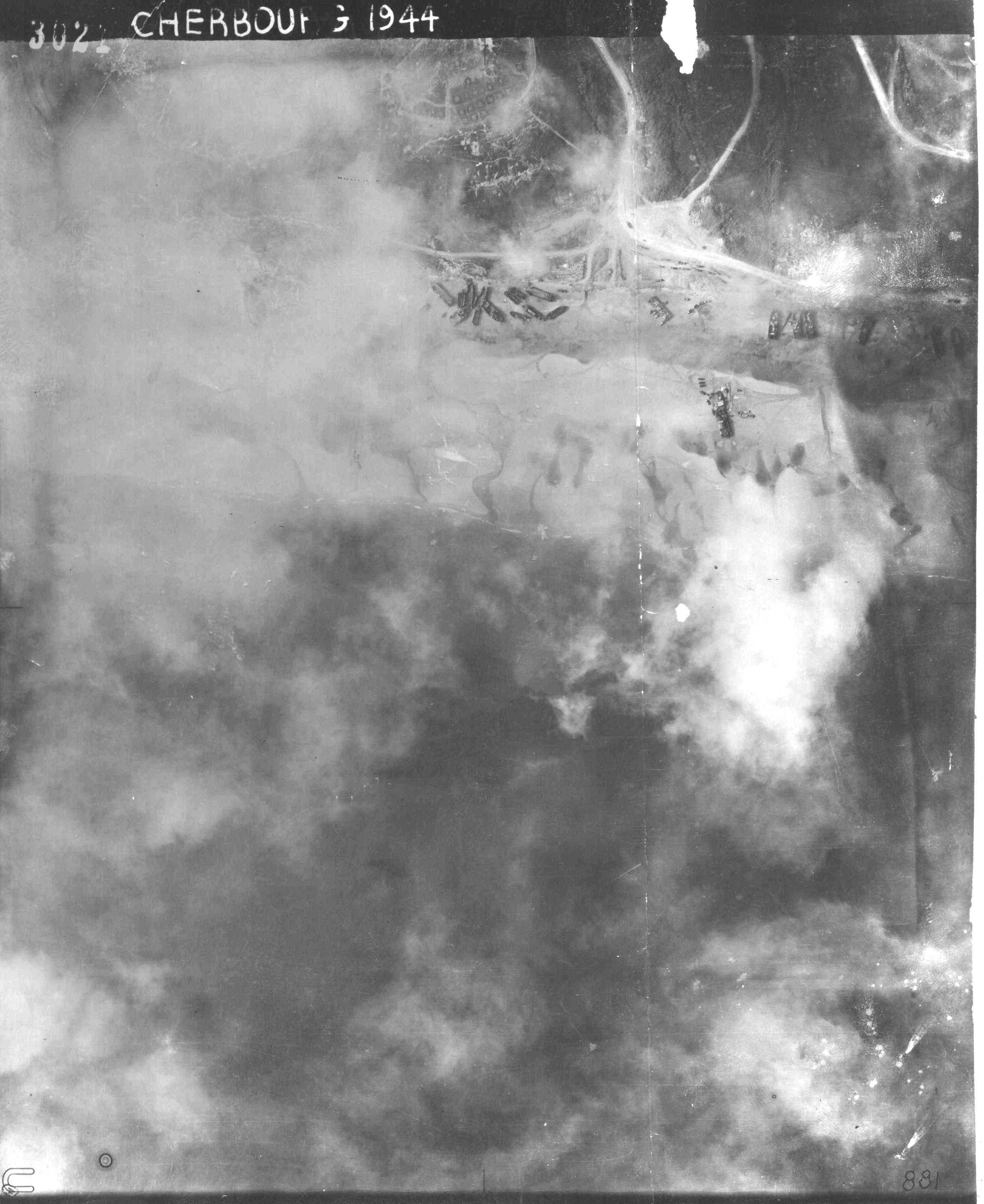
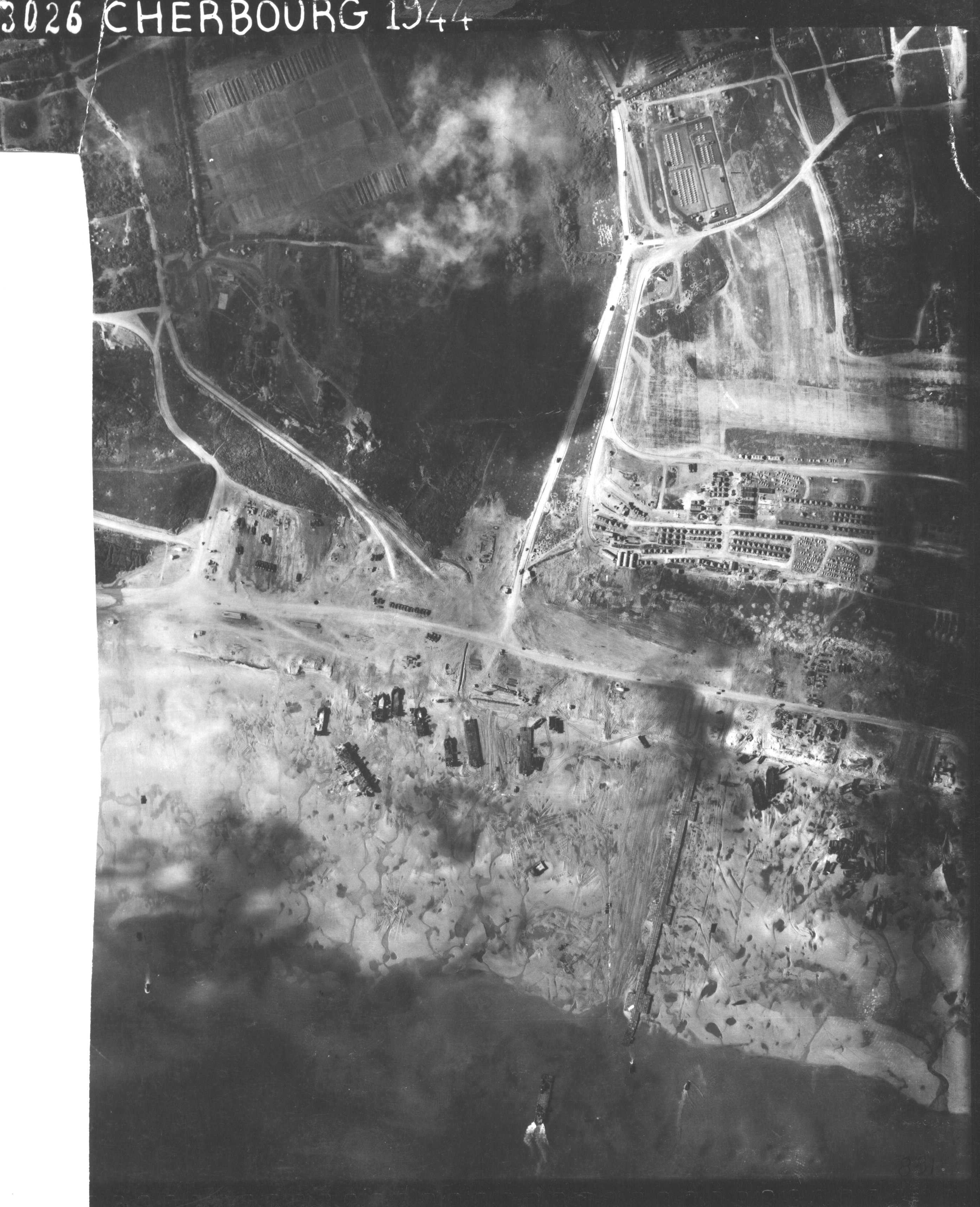
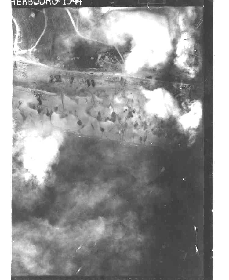
These detailed photos show the activity on the beach of Omaha Beach during the exploitation of the artificial harbour
These photos, taken at low altitude, are very detailed. The view is often hampered by clouds and also by alterations of the negatives for the last four, side Colleville.
They can be viewed enlarged to 750 pixels by clicking on the photo, or in full size by clicking on "see details". We can then distinguish all kinds of details, vehicles, balloons, ships, tents, shell holes, houses in ruins or not, etc... And of course the Saint-Laurent airfield and the east end of the Gooseberry dam.


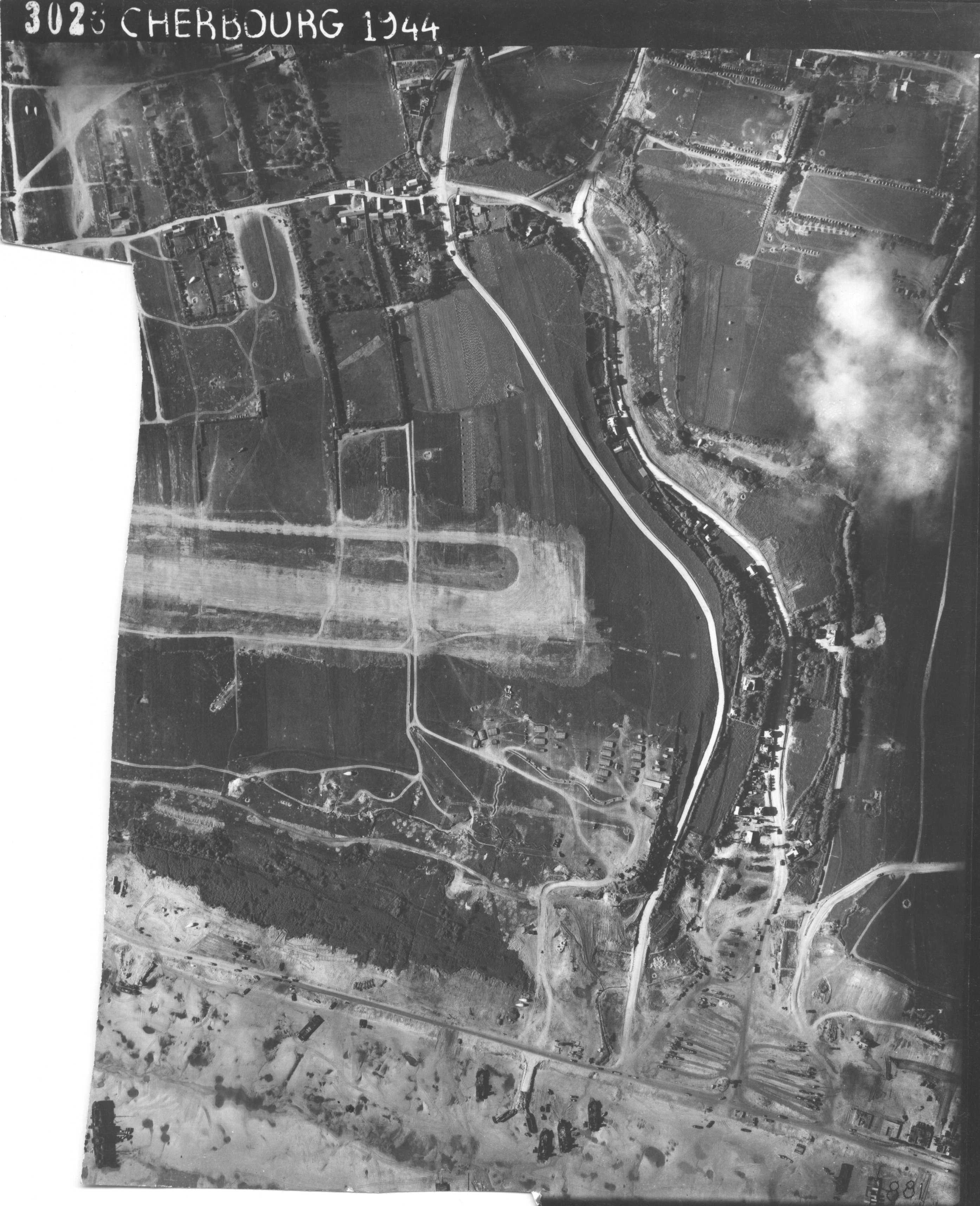

(see details)
Beach, The West Ruquet
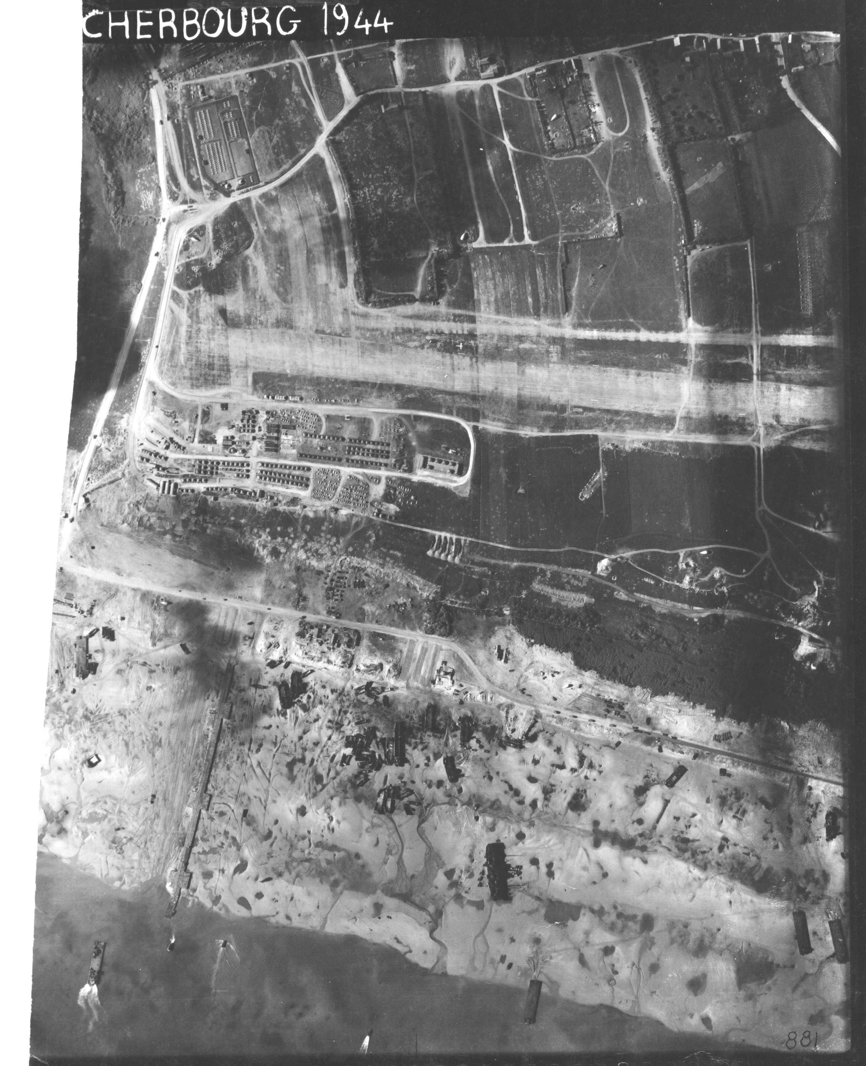


(see details)
Beach, The Ruquet


(see details)
Beach, East Ruquet