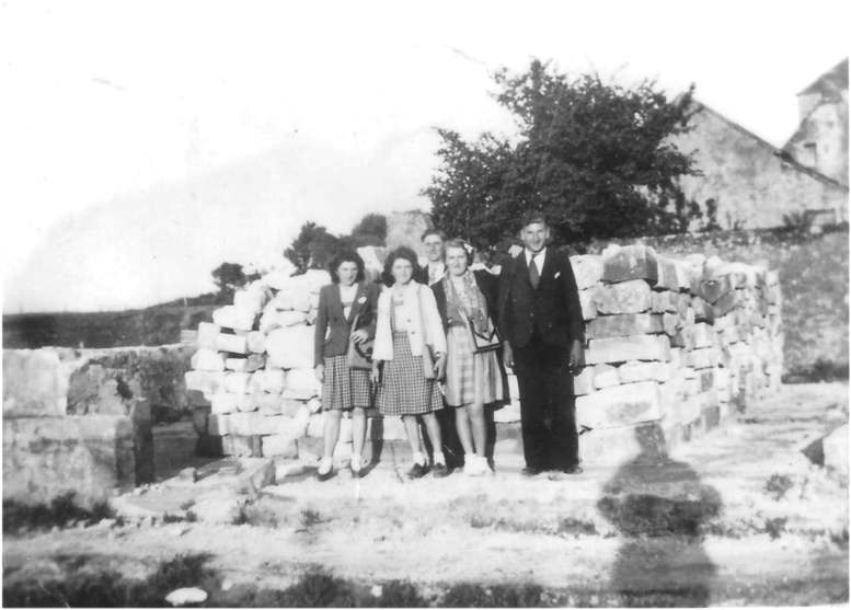
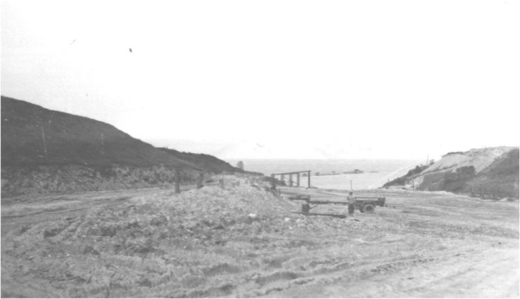
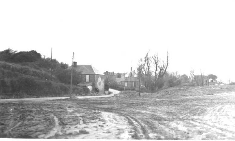
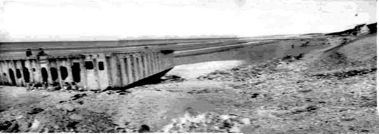
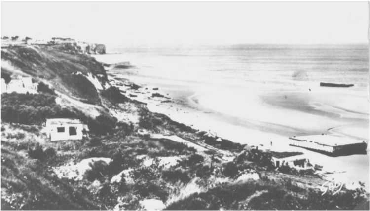
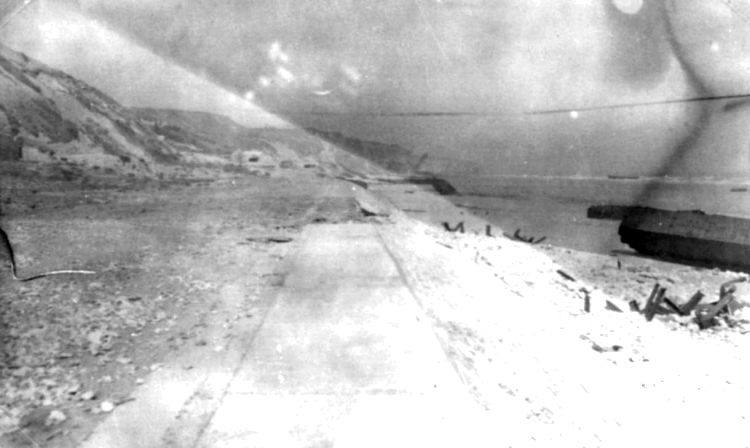
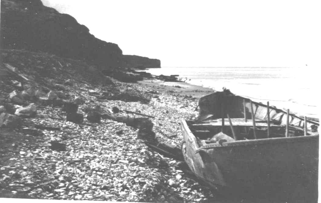
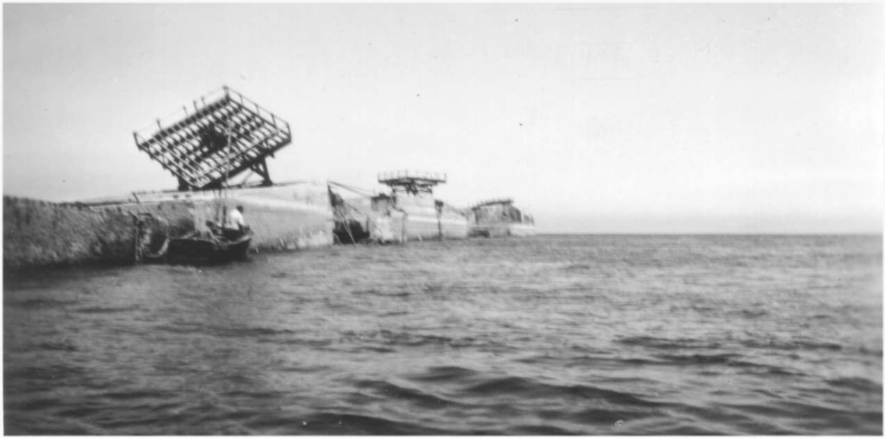
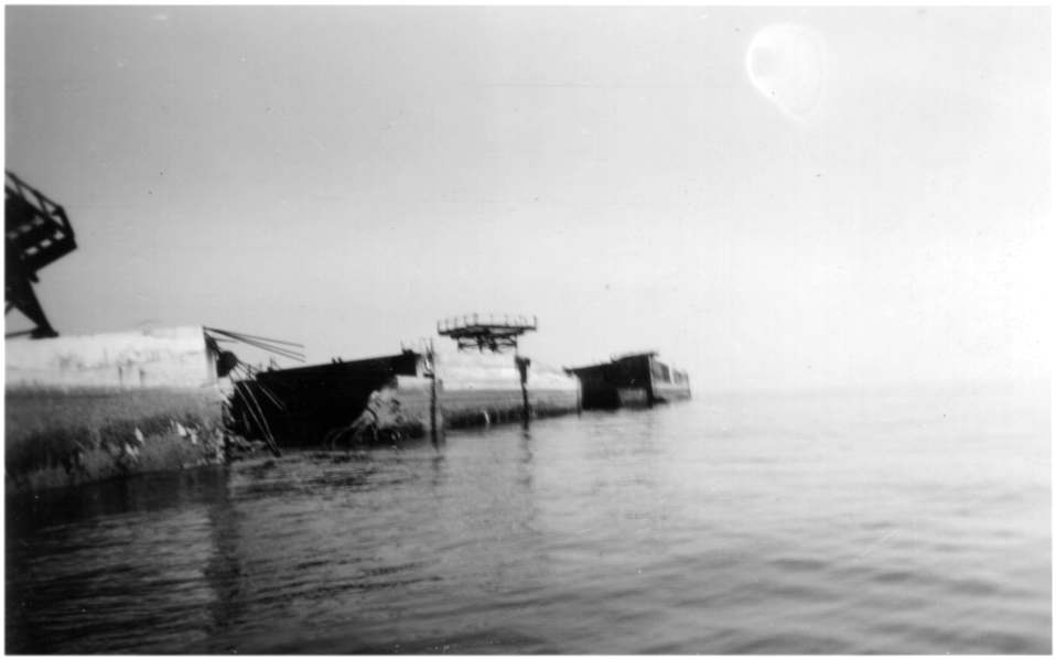
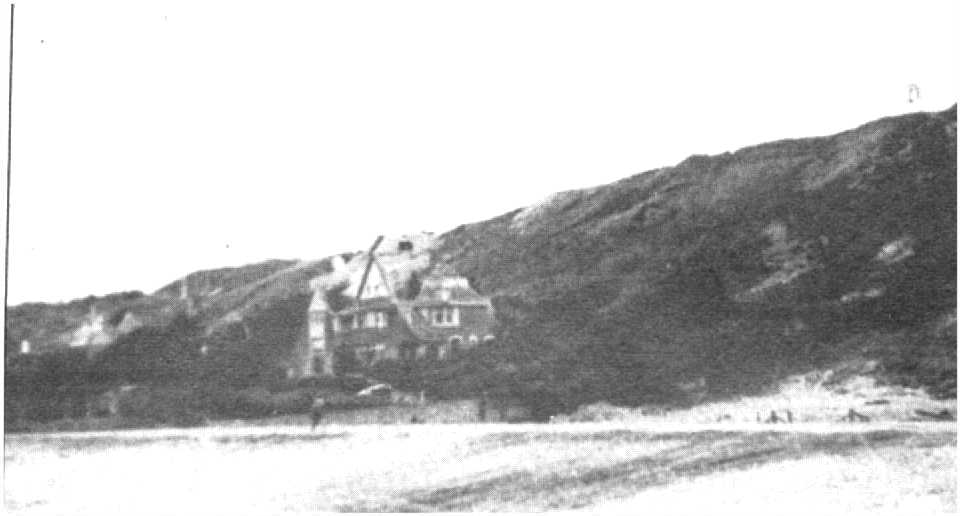
Here are some photos of Vierville taken in winter 1944/45 and around 1950, after the departure of the Americans, almost all left at the end of 1944.
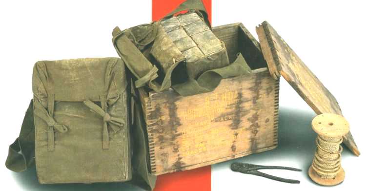
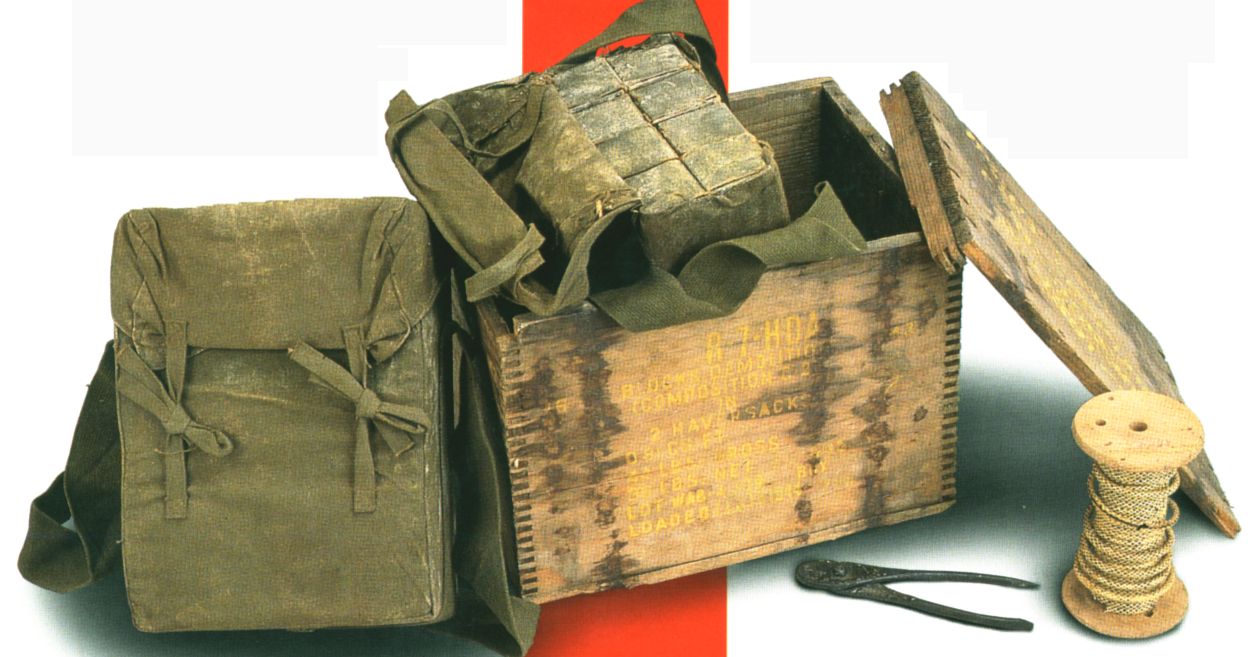
They had left behind some depots, including at the edge of the roads Formigny-Vierville, Formigny-St-Laurent and Formigny-Asnières, explosives (Composition C , tetrytol), packed in boxes of 2 bags of green canvas. Each bag contained 8 loaves of about 1 kg of this plastic-like product. These deposits formed piles of about 1m3 every 100m on the lower side and were not kept. The residents of the neighbourhood have used them extensively to light their fire or simply to buy bags. The removal of these explosives is at the root of the disaster Asnières explosion (41 deaths) in October 1945.
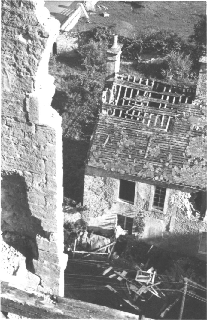
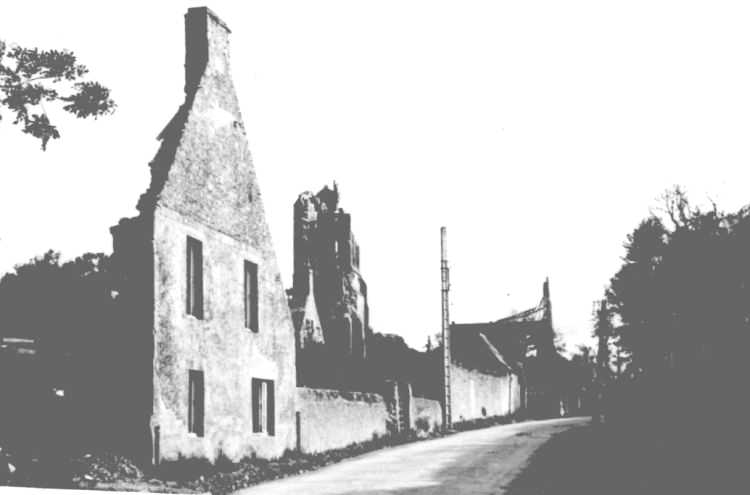
Seen from the bell tower of the destroyed church, the ruined house of Collières and the crossroads.
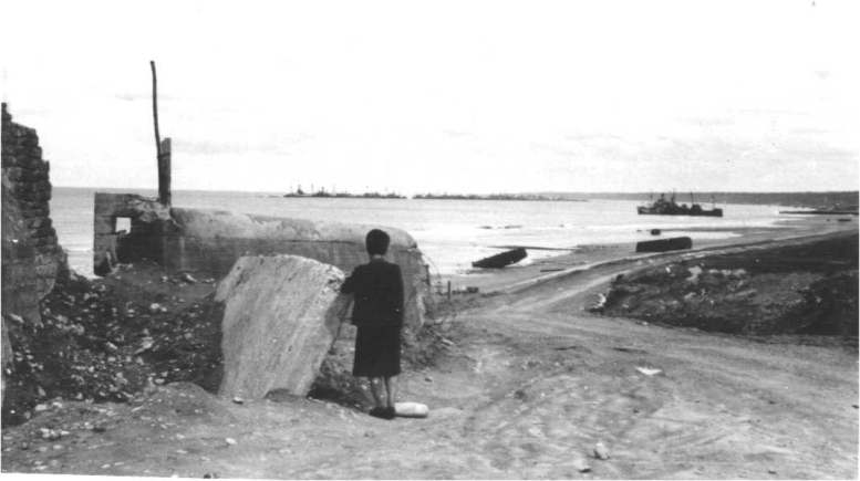
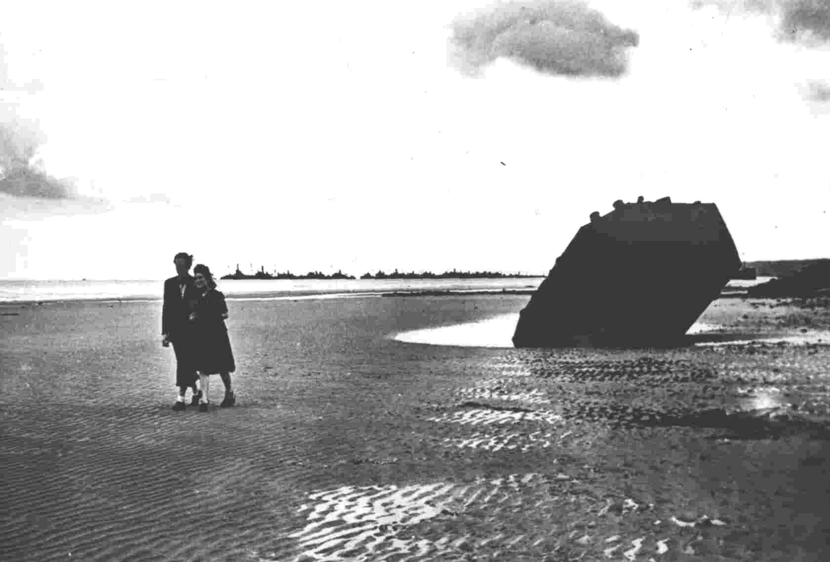
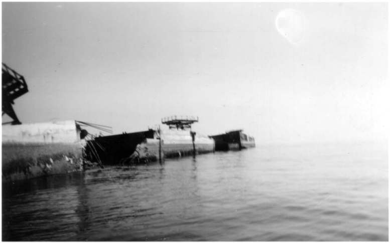
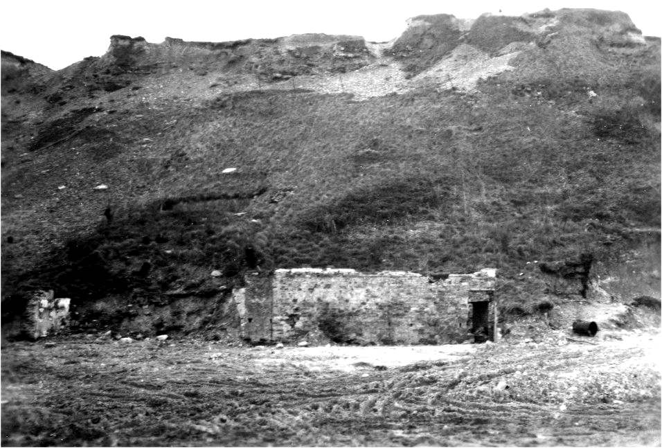
(details) The large casemate of Vierville, seen from the back, with the remains of the harbour in winter 1945. Suzanne Chedal-Anglay is seen, from the back, in the foreground1946, Hausermann family
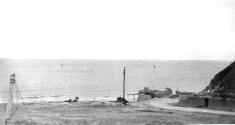
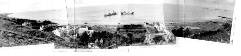
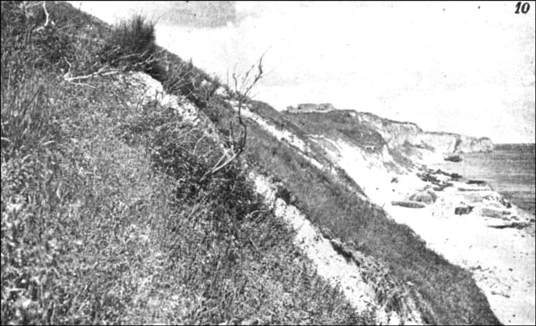
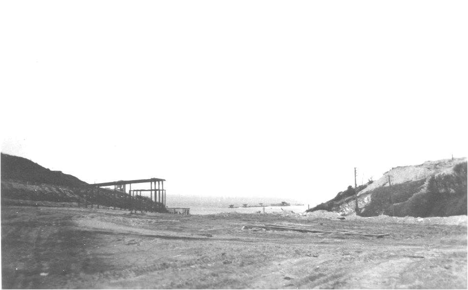
(details) The foot of the descent, winter 45(details)(details) View taken from the cliff above the ruined villa Mathy
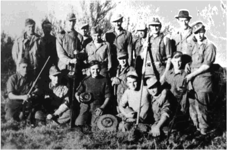
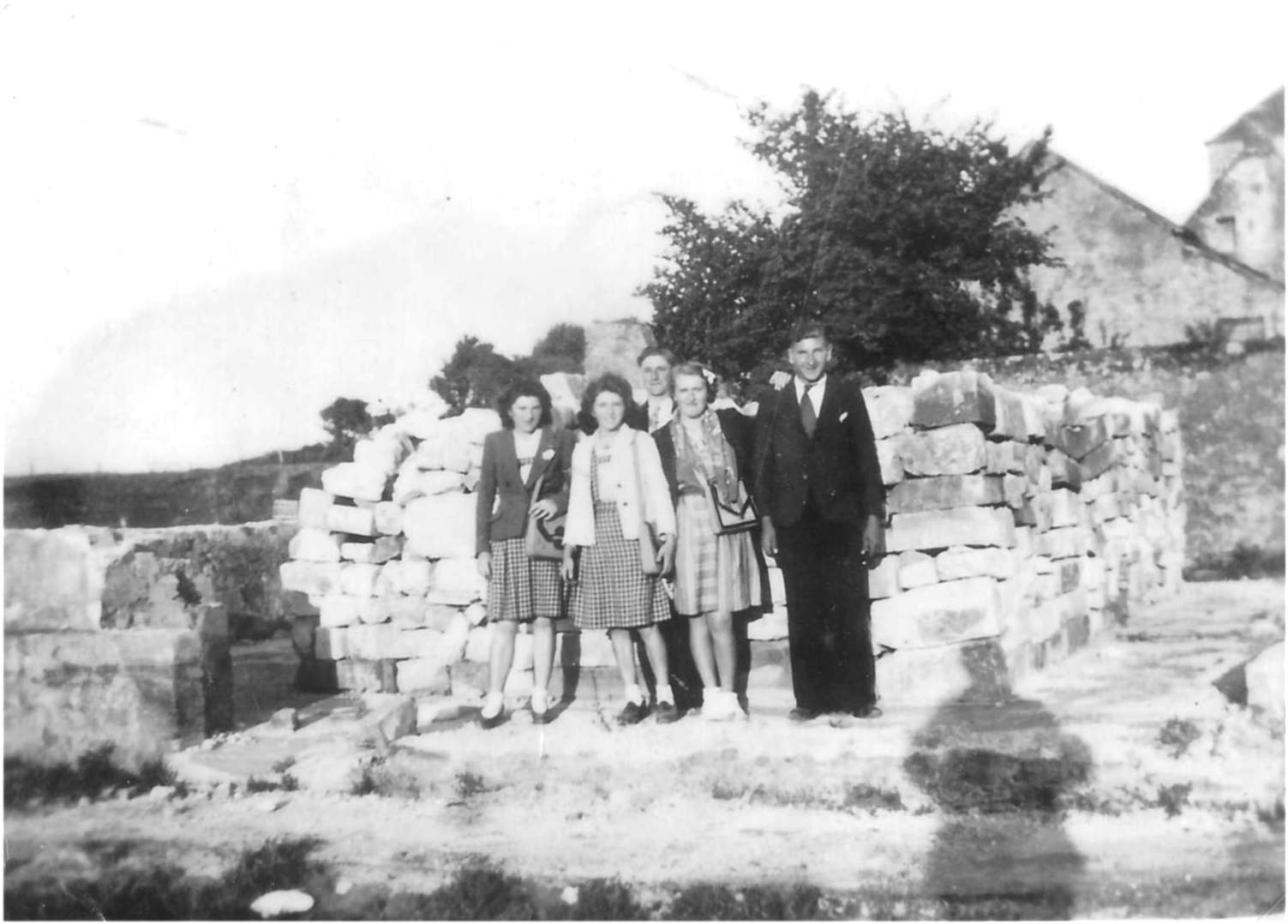
(details) The deminers' team, German prisoners, one or two French and the chief deminer Mr. Lancry (with a black hat), later a painter in Trevières. They worked in the years 46/47 and cleared the entire cliff and surrounding fields completely and carefully. One of the French was killed by a trap under ill-defined circumstances because the trap had been detected before the accident. In the picture below, the man on the right with a cap is Mr. Dubois, a former mayor of Vierville. (details) These two pictures were taken in summer, the other in winter, we don't know exactly by whom. It is likely that each team member will receive a copy. It seems to be a German who brought them back to Mr. Leveel at the museum in Vierville.
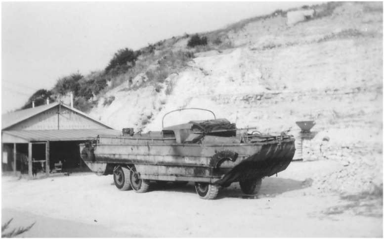
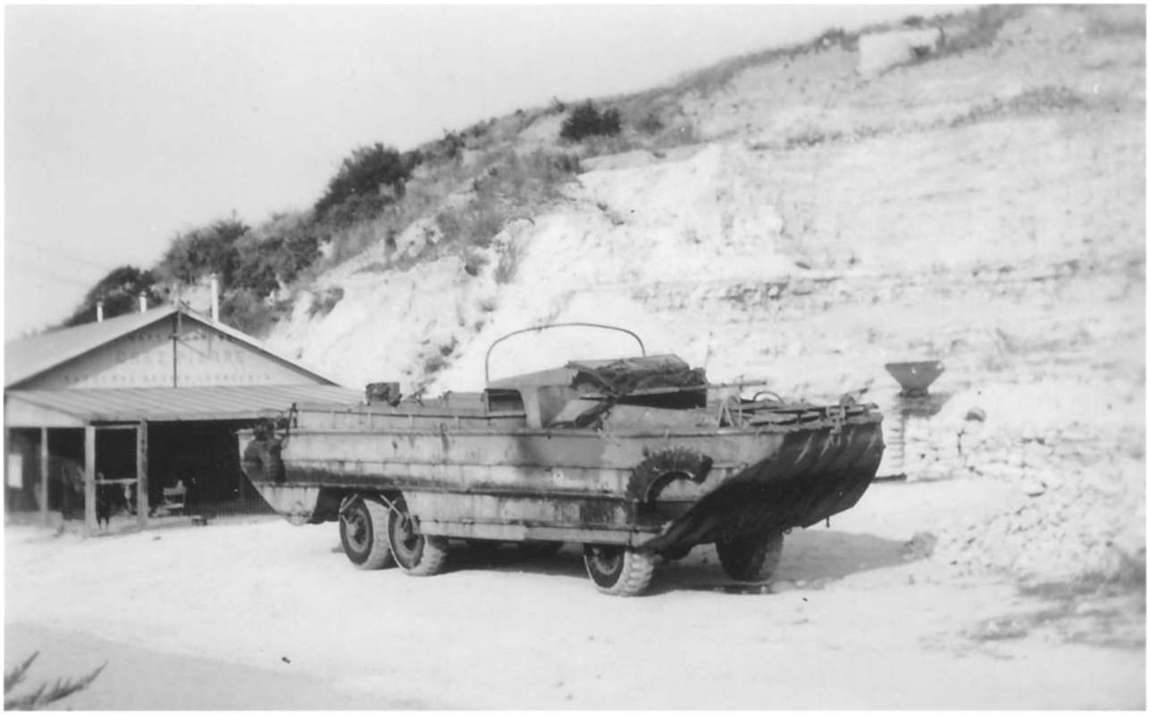
(details) The Vierville guinguette temporarily relocated to the quarry, circa 1950 (details) A duck of scrap pickers in front of the guinguette
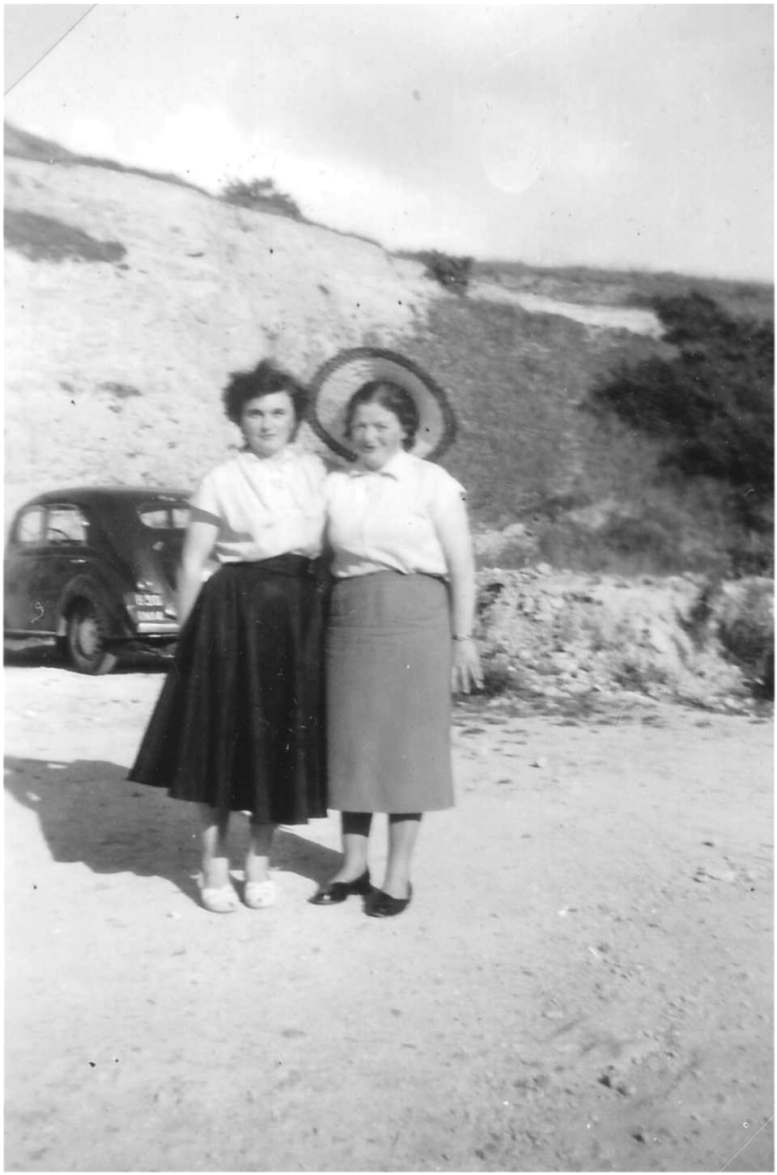
2 pretty dancers in front of the guinguette
the presbytery with a flat roof, seen from the church bell tower(details) The ruins of school
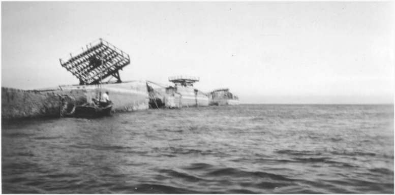
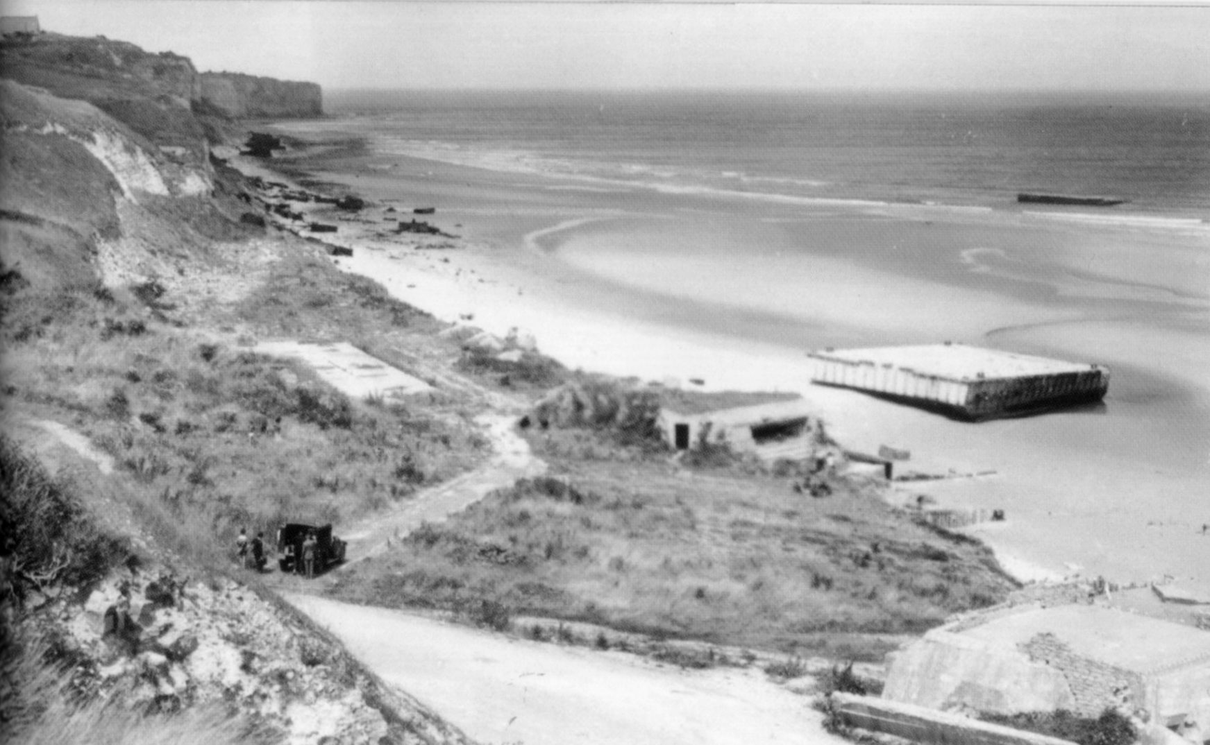
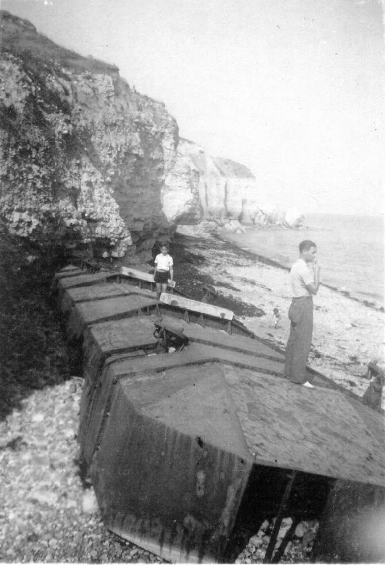
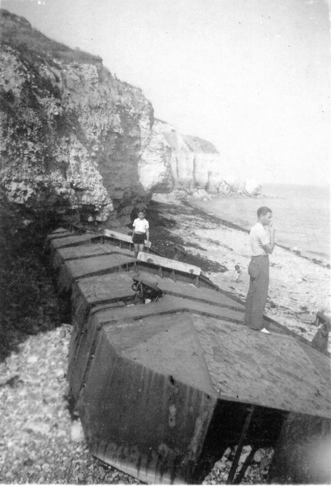
(details) herbage in front of the castle transformed into land, parking and road. At the bottom is the western cross-section of the Phoenix pontoons. YC is near the abandoned trailer(details)(details) On the ground are stored "Belgian doors", old obstacles of the beach. On the right is the house of the tobacco office.(details) The former tobacco office (Le Bastard House)
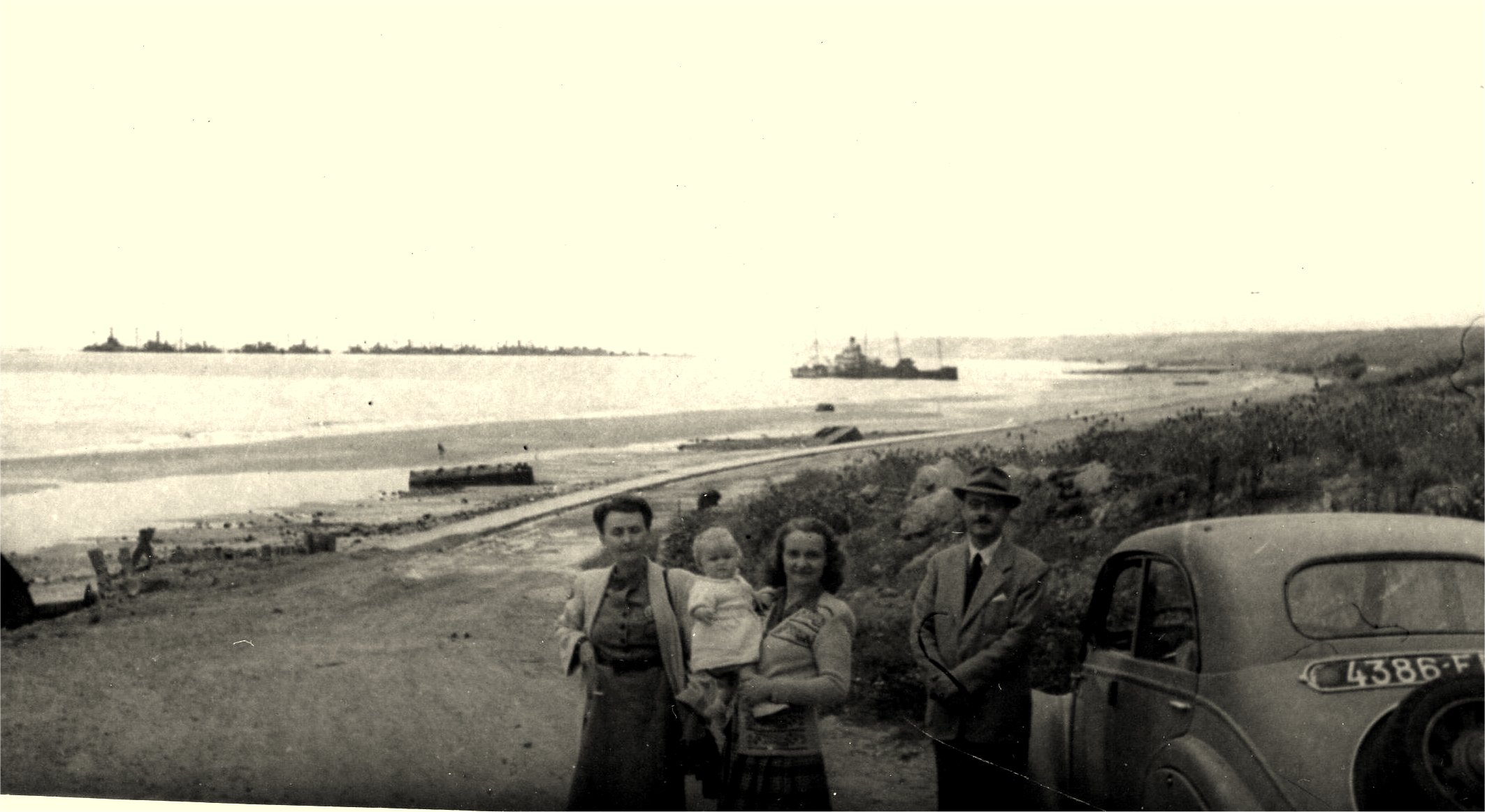
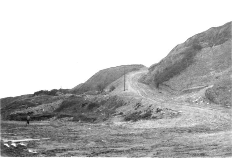
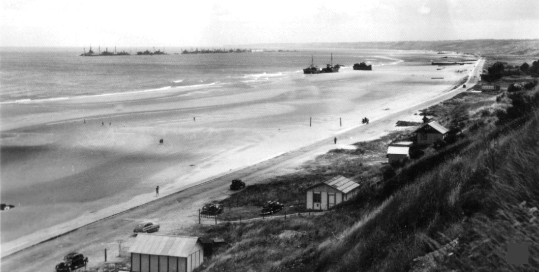
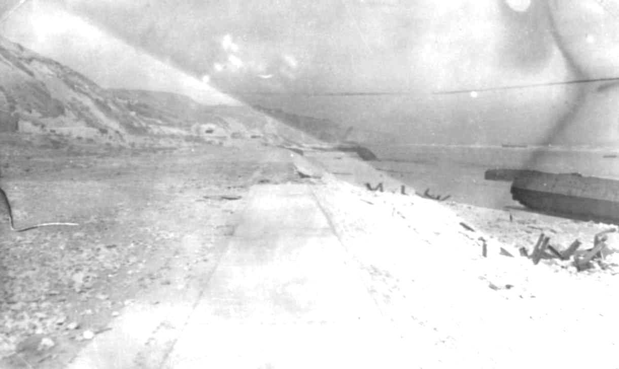
(details) At the foot of the Vierville descent with the concrete dock, remains of the floating docks (this dock was used to connect the Lobnitz self-elevating platforms)(details) To the left of the retaining wall, location of the Hausermann beach cabin, a few tens of meters below the bunker, on the cliff side.(details) The downhill road, towards its middle. On the left, Yves Cordelle on foot (winter 44/45)Cavalier view of the foot of the descent. The 2 pontoons are remnants of the Mulberry, the nearest is still in place(details)(details) 2 photos of the coastal road in winter 44/45(details)
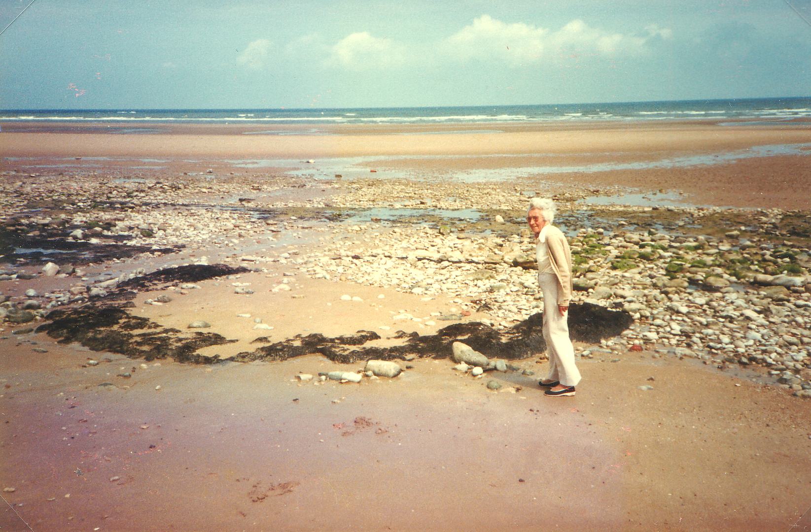
(details) Traces of a bomb crater or shell on Vierville beach. The black bourrelet shows that the bomb fell into the peat before it exploded. Simone Cordelle is in the forefront
(details)Demolition equipment: "Comp C" or tetrytol explosive box, 2 green bags, detonating rope, traction light. The detonator's missing.
(details) the house of Collières and the church ruined in the background
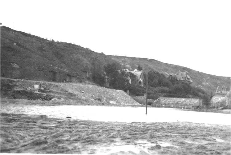
(details) Ruins of the villas Mary (communication post of the KriegsMarine) and Cusinberche. The Casino hotel is completely gone.(details) The foot of the descent, to the right the bunker that replaced the hotel Le Gallois, in the background the villas Cusinberche and Mary.
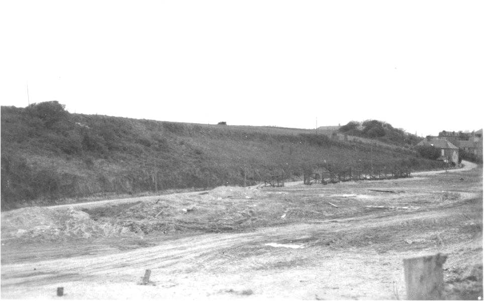
(details) View of Vierville towards the Percée(details)(details) The downhill road built the US engineers for the empty return of the "decks" and trucks. YC is left in the picture